In August 2016, while crossing Hardangervidda, I met two women walking something called Norge på Langs. The first woman explained that she had hitch-hiked through numerous tunnels and walked a lot on the E6 highway. I immediately knew such a trip was not for me. Then, waiting for the bus at Haukeliseter, I met another woman. So, how many tunnels did she walk through? Only one, she said: The North Cape tunnel. And she walked in the mountains. Later I looked her website up, where her itinerary was posted. An itinerary I, in fact, ended up largely following for the Northern half of the trip.
First of all, there is no established route nor any set rules for Norge på Langs. Accordingly, depending on priorities and goals, almost everyone end up doing it their own way. Some aim to do it in less than 100 days, some walk only in Norway, some occasionally takes a boat ride or lets other carry their luggage, some cycle parts of the route etc. etc. Thus unsurprisingly, I, for one, have never heard about anyone completing Norge på Langs exactly as I did. According to a private list, 433 people have completed the trip since 1951, but there are more. Me, for example. And others.
Based on previous experiences, I now know myself reasonably well as a hiker: Ideally I get up around midday, walk through the afternoon and evening, often after midnight, especially in the midnight sun. In the mountains I average about 2,5 km/h (breaks included). I don´t usually walk more than 20-25 km/day in the mountains and 35 km on road is about enough as well. On the mental aspect, I know that I will not get lonely, in fact walking day after day in the wilderness without meeting anyone is uplifting. I do not like to be offline more than I have to: Social media, football results, listening to podcasts etc. in the evening are all essential parts of a trip. I do not want to push myself physically by aiming at a fixed daily hiking distance. Hiking is about freedom. If I am tired, I take a break. If it rains heavily, I will probably not want to walk. If I find an extraordinary campsite after 10 km, I will stay there.
Finally, I have come to have some rough ideas of my weak and strong points: My main weak point is (lack of) physical strength. Followed by: Tolerance for freezing. My strong points: Rational thinking, solid judgement/risk assessment, perseverance.
My main goals for Norge på Langs were: 1) to walk 100% of the route, 2) as much as possible in the mountains, with 3) no preplanned supply parcels/support.
The concept:
- Walk 100% of the way. In this context “walk” equals “walk with my backpack”. Thus, no motor boats allowed (with specific reference to the boat services over Akkajaure and Namsvatnet).
- Not skipping any major mountain section and I walking mainly in the mountains. In case of adverse conditions preventing me from passing through, I will simply wait or, worst case, return at a later stage to complete the trip. I have driven the length of E6 before. I see no reason to walk it as well.
- I do not send food/resupply parcels. Mainly because I would lose freedom and flexibility by doing so and secondly, because I, after doing the relevant research, did not find it necessary. It is also a big hassle as well as expensive.
- I will not rely on outside help. If I have logistic issues needing me to go off-trail, I will do so myself. I will not ask anyone for food unless an emergency (defined as: > 48 h without eating).
- I will not set daily targets. I will walk at whatever pace I am comfortable with and stop whenever I like.
Where to start? North or South?
Most people start at Lindesnes. Quite frankly, I do not understand why: Starting in the South means that Ryfylkeheiene, Hardangervidda and Skarvheimen will be reached in early/mid-June, quite possibly the worst time of year, in the middle of snow-melting, with deep rotten snow and huge rivers, a nightmare on ski as well as on foot. Of the numerous people starting from the south in recent years, with or without skis, including an Olympic skiing champion, all I am aware of have given up on the mountain route during or right after Ryfylkeheiene.
On the contrary, in the North, Finnmarksvidda is normally fine to walk in early June, which I confirmed by studying snow data on senorge.no. The main issue starting in the North is the notoriously late snow-melting a bit further south, in the Narvik and Sulitjelma Mountains, often as late as late July. Furthermore, I quite simply love the Northern spring with the midnight sun, gone by late July.
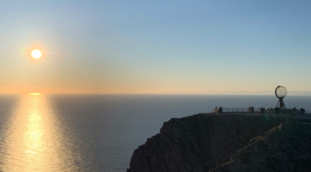
So, this was an easy choice: The starting point is Knivskjellodden, the northernmost point on Magerøya, ~1,5 km further north than The North Cape.
Which route?
I wanted to walk the most beautiful and interesting way, not necessarily the easiest and fastest way. The choice of road until Børgefjell was easy (more or less E1, Nordkalottleden, Nordlandsleden). After Børgefjell, the easiest and most popular route would include Røros, Rondane and Eastern Jotunheimen. However. I was less motivated by these areas and preferred the fiords, the deep valleys, Innerdalen, Breheimen and Central Jotunheimen. In the end I decided to leave the Southern route decision until after Børgefjell.
I knew, that the combination of 1) not relying on resupply parcels or 2) outside help, as well as 3) intending to walk a more western route, most likely meant that I´d have to split the trip over two seasons. Ideally I´d complete it in one, but I´d much rather do two seasons than skipping central sections like Skarvheimen, Jotunheimen and Hardangervidda. In the end the choice between “one season with hundreds of km on paved roads” or “two seasons almost only in the mountains” was easy.
I ended up walking the below route over two seasons, the break-off point being Trondheim. All supply points in the North as well as all the huts are marked on the map above. Further details in separate post.
What to bring?
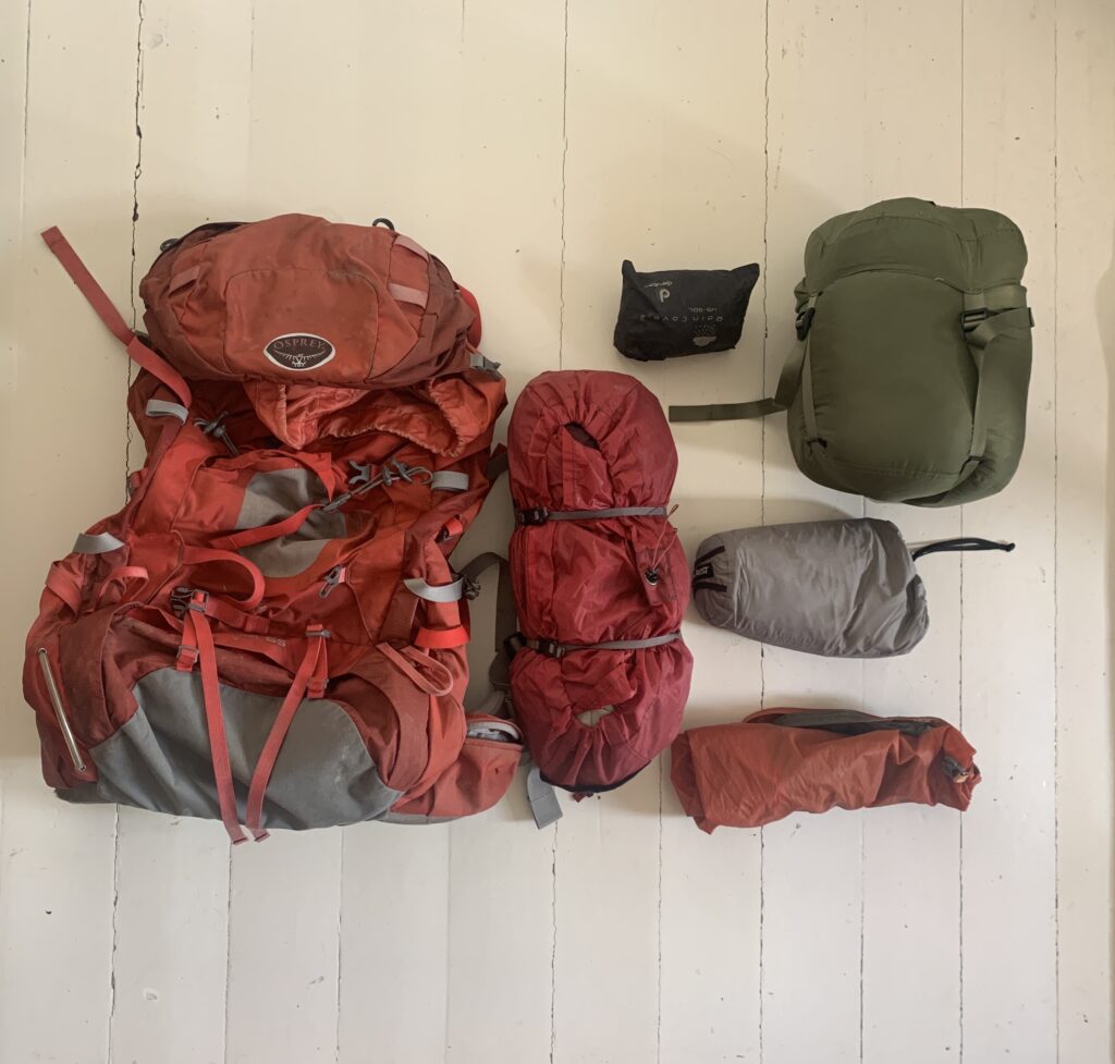
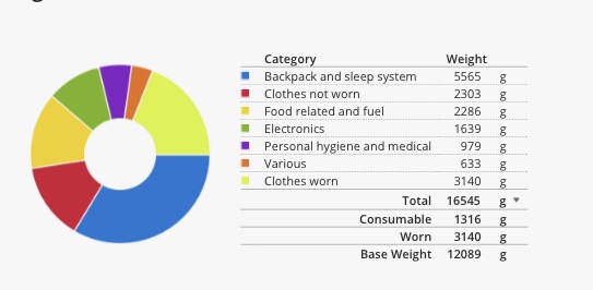
The equipment is described in detail in a separate post.
The planning phase
Intuitively I would say I didn´t plan anything, but that would would be wrong. As I did not send any resupply parcels, didn´t purchase any new equipment and didn´t preplan neither daily stages nor the route, there was not a lot of formal planning, no excel sheets etc.
However, I spent countless hours looking at ut.no, studying route options, in particular potential difficult river crossings and ways to circumvent them. I needed to be sure that it was possible to resupply with food without sending parcels, and I identified the two most challenging sections in this regard: The Narvik mountains, and Lønsdalen-Hatfjelldal, each requiring 10-12 days food to be carried and I would have to leave the trail to resupply. I studied the snow development several times a day for months on senorge.no and I watched YouTube videos as well as looked at Instagram posts and various web sites studying previous trips as well as the areas I´d be passing. The final decision to go was taken only a couple of weeks before the departure, after a final check of the snow conditions, around mid-May 2019.
Physical preparation:
Unfortunately, I did not train a lot (read: I did not train at all) and I was in quite miserable shape at the beginning, not able to run 5 km without stopping, to give an example.
Web ressources used frequently, before and during the trip:
ut.no – for route planning. All DNT routes and cabins as well as most, but not all, free cabins are marked.
ut.no or norgeskart.no: Navigation during the walk, when needed. Also works offline.
yr.no: Weather forecast. I find it the most reliable of the online providers.
senorge.no: Follow the snow situation and compare with previous years.
bratt.no: Steepness. Especially useful when heading off-trail.
Lantmäteriet: Online free hiking maps for the Swedish sections.
National Land Survey of Finland: Online map of the Finnish section.
Interactive map with open Statskog cabins.
Restless kiwi adventures: Both a blog and a YouTube channel, but I found the daily videos of the Northern section particularly useful in assessing the geography.
The website by Tine Larsen detailing the route she walked. I met her in Haukeliseter parking lot and she was the one inspiring me to walk Norge på Langs in the first place.
Other recent trip reports:
In 2019, both Gina Johansen and Anne Line Pedersen completed Norge på Langs and wrote extensive trip reports (in Norwegian) on their websites.
Links to many previous trip reports on norgepaalangs.info


