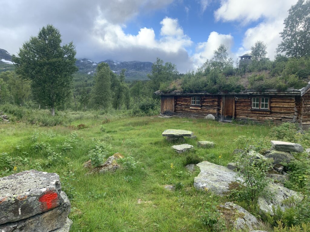
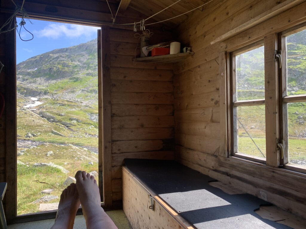
part 19: breheimen

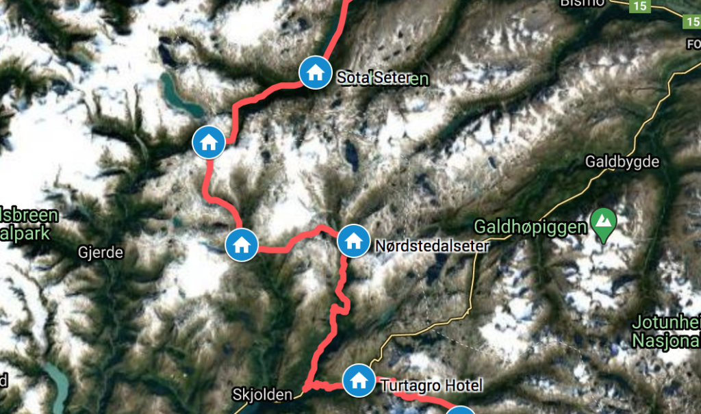
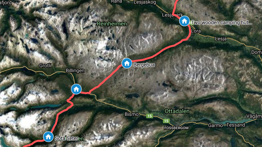
The Route: Sota Sæter-Sprongdalshytta-Arentzbu-Nørstedalseter-Fortundalen-Turtagrø. August 30-September 5, 2020. Day 136-42. 74 km.

Sota Sæter marks the start of the 350 km hiking route DNT MASSIV, a collection of already existing trails now promoted as a long-distance trail by the DNT. I followed the DNT MASSIV for the entire length from Sota Sæter down to Haukeliseter, starting out arriving at Sota Sæter in the middle of a wedding, where I was most kindly offered some wedding cake.
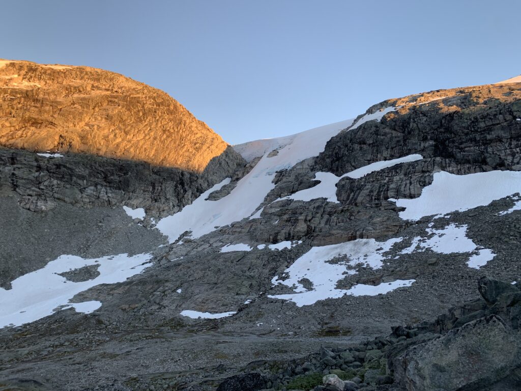
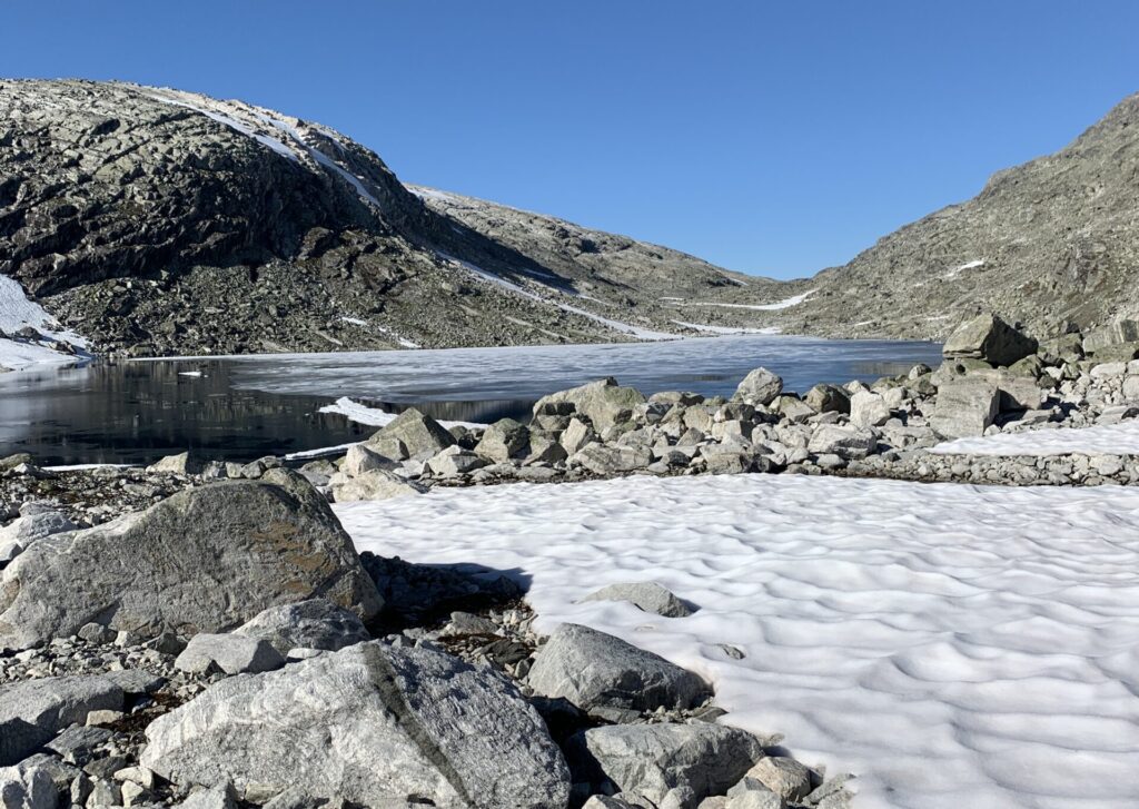
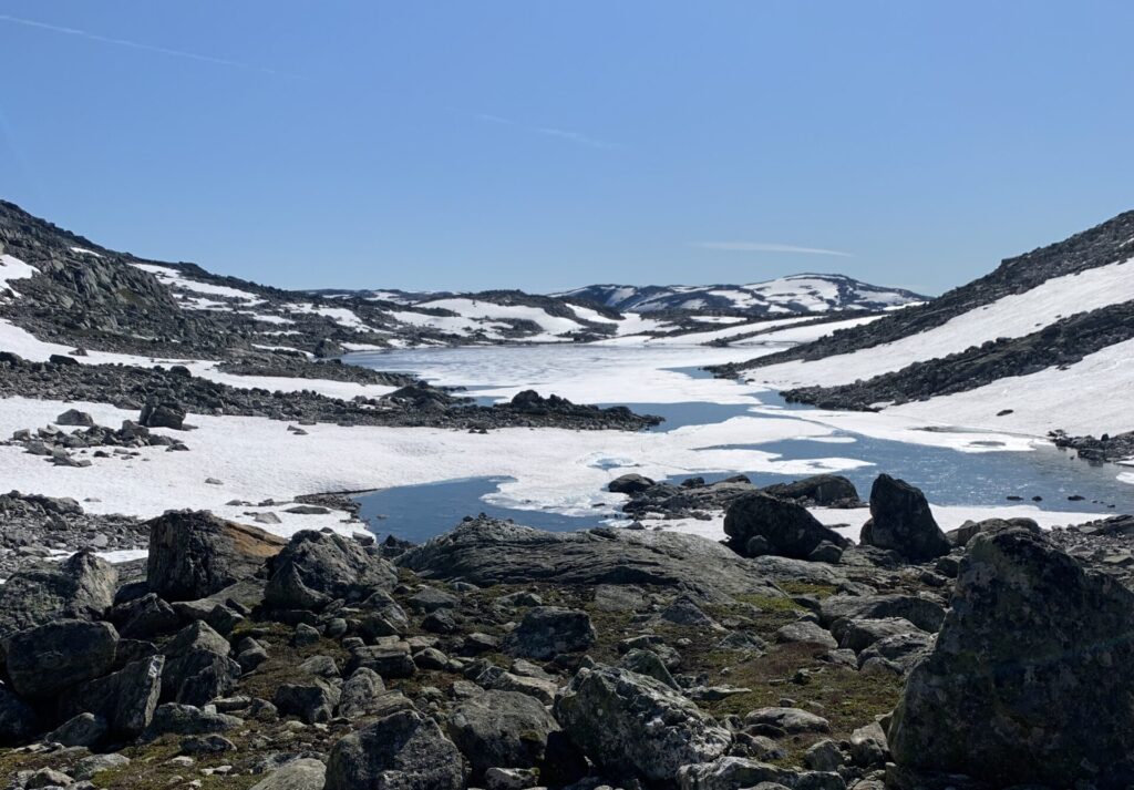
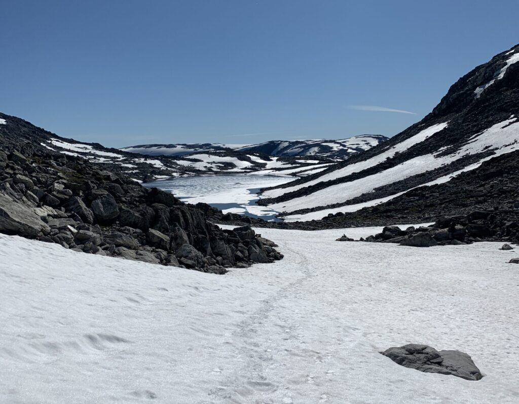
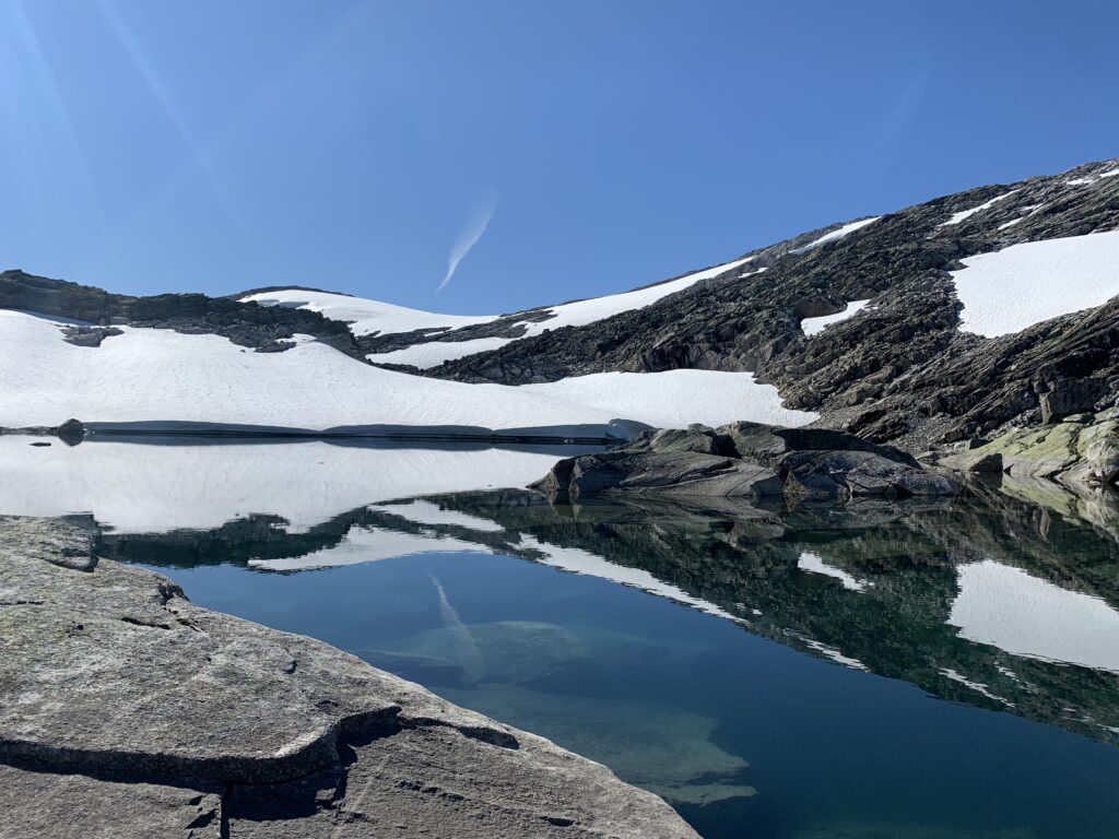
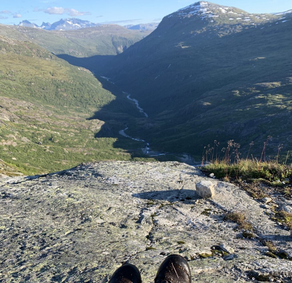
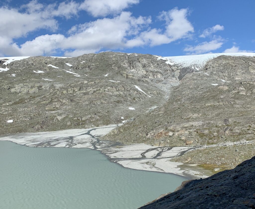
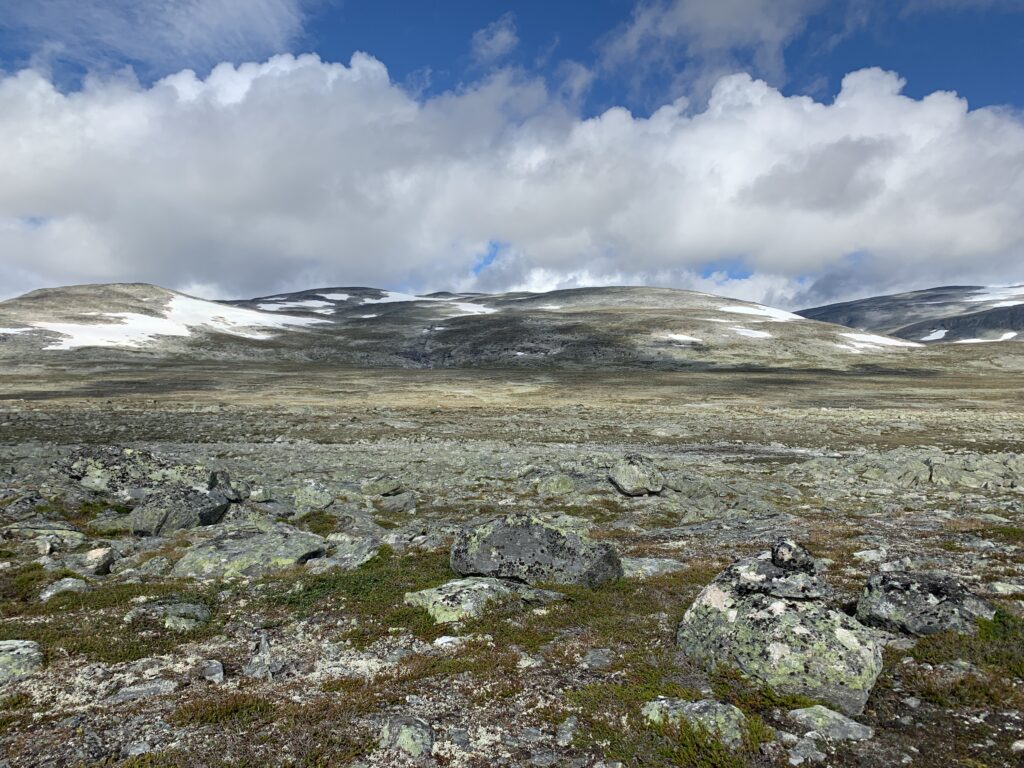
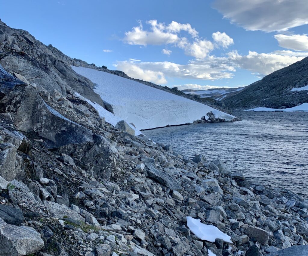
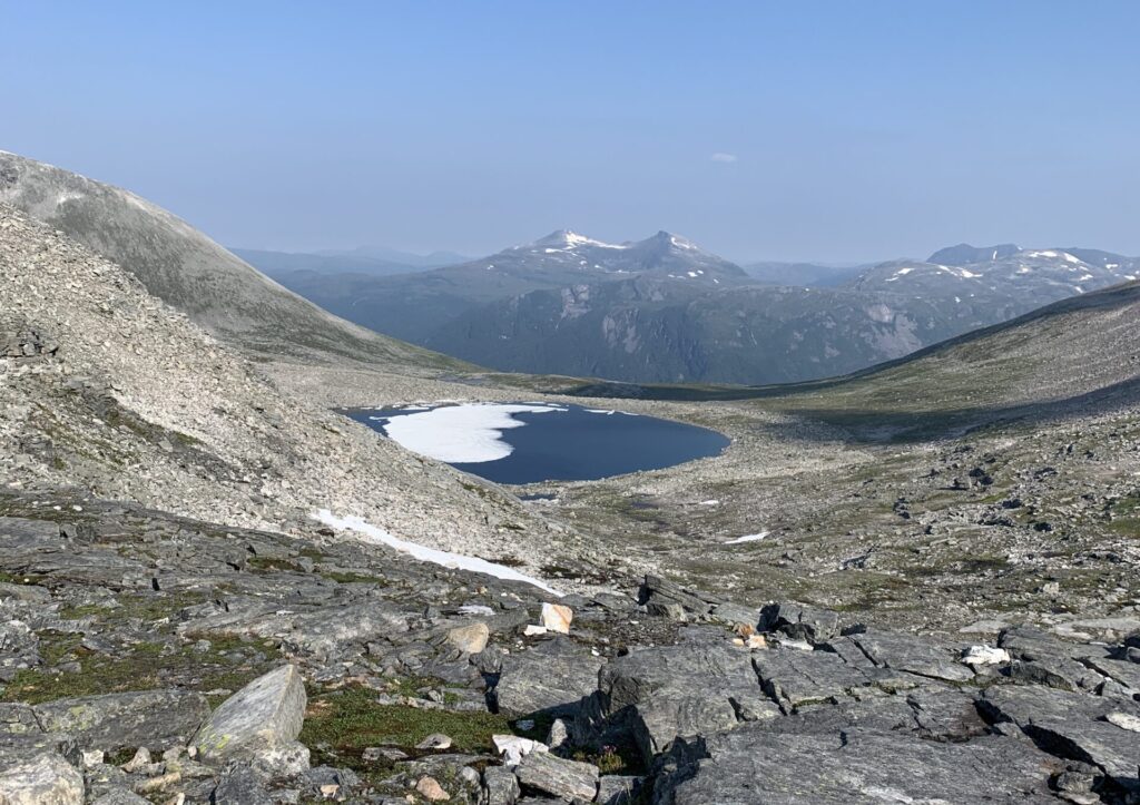
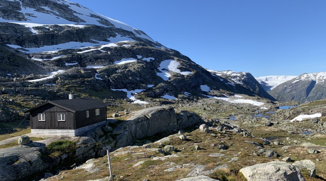
First of all, Breheimen is a very tough area to walk in, significantly tougher than Jotunheimen, one big valley away, and the toughest, but also arguably the most spectacular area since the Narvik mountains. Carved by retreating glaciers thousands of years ago and with Jostedalsbreen (biggest glacier on the European mainland) just on the other side of a deep valley. The ever undulating valleys are connected via snow-field covered passes, steep moraine slopes and plenty of stones, also of the boulder-sized, jumping kind slowing movement down to around 1 km per hour. For me, at least that is: At one point I was passed by three gentlemen, presumably in their 60s, moving with three times the speed of me. I met them twice, first while they overtook me on their way up a mountain a side and again when they came down that same side, me still on my way up..
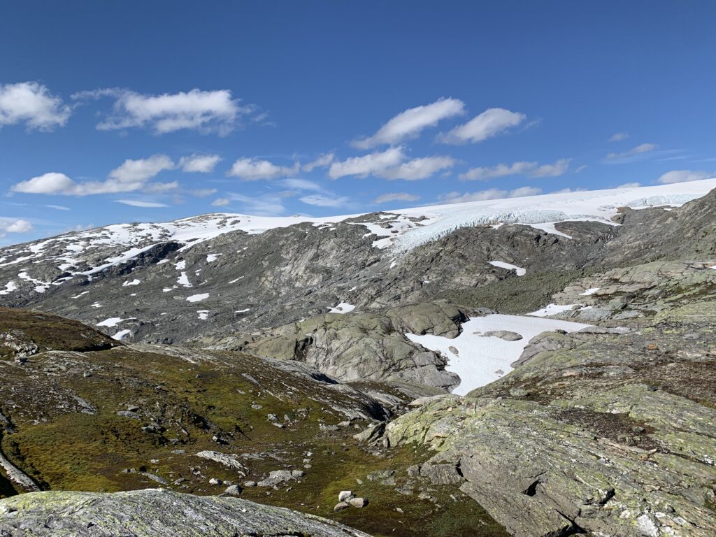
Gravdalen

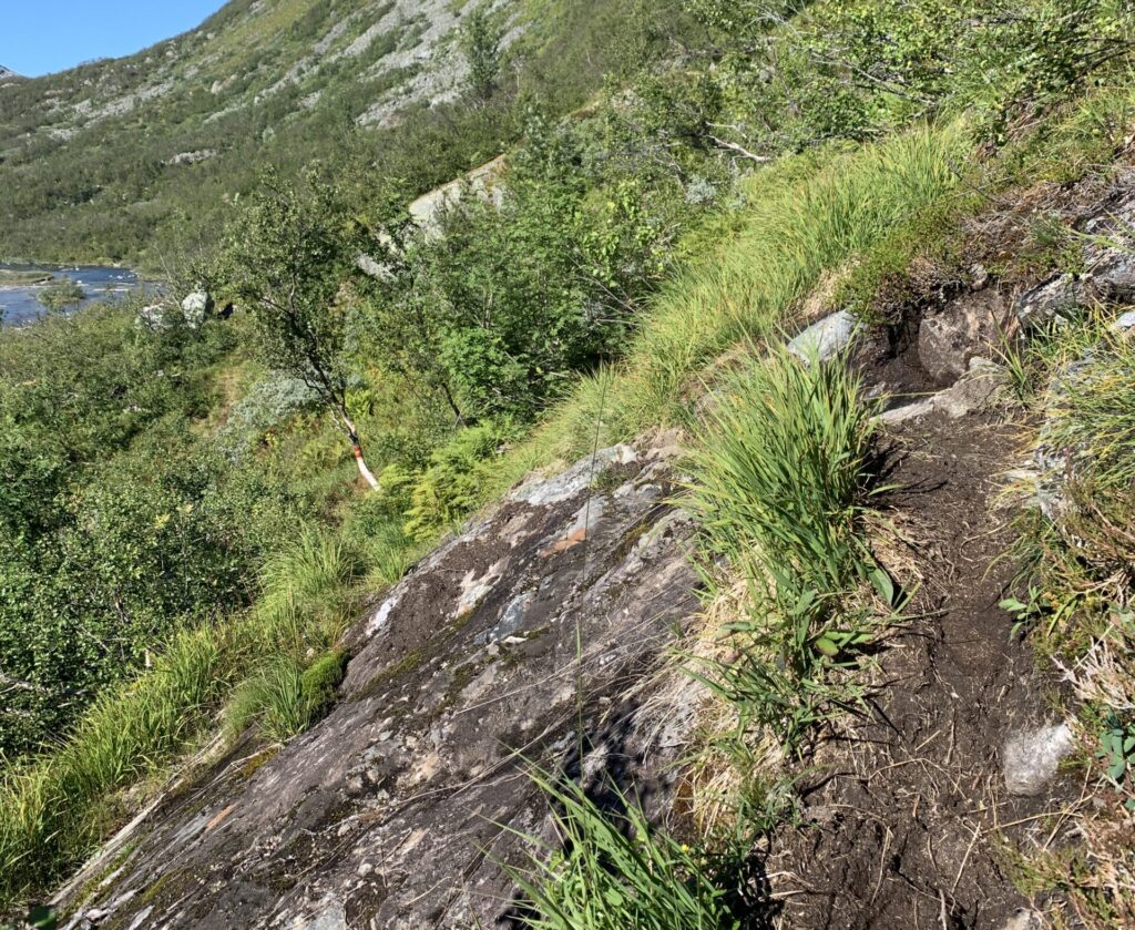
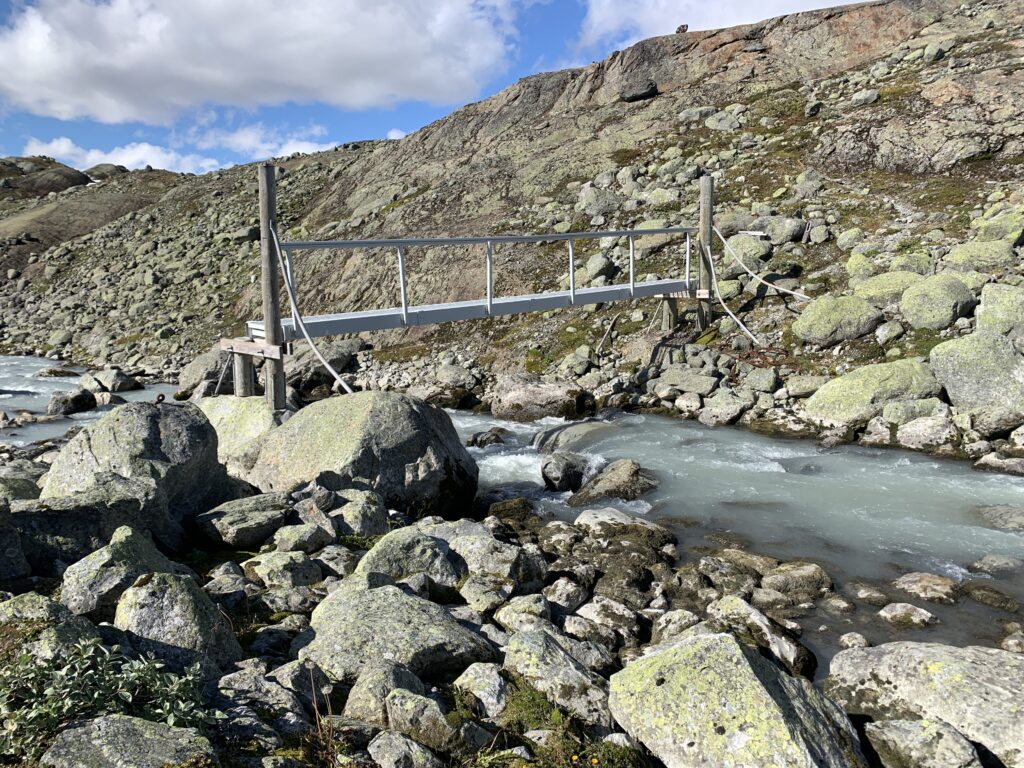
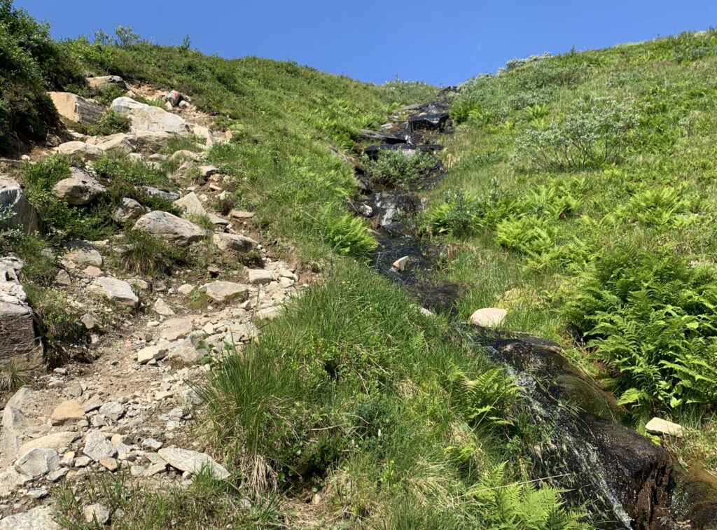
The terrain was sufficiently challenging that one night, despite being only 850 m from Sprongdalshytta with the cabin in clear view, I still decided to camp on the spot, due to the impending darkness in a very bouldery land shape too risky to walk in the dark, except in an emergency. The arguably hardest ascent of Norge på Langs was also to be found here: Short, but incredibly steep and muddy, right after Arentzbu on the way towards Nørdstedalseter. If more people walked here the trail would simply be eroded away. A bit further on, a quite nasty bridge had to be passed as well, the worst since Cunojávri. To exit the bridge, I had to throw down my backpack and jump down on it.

At this time of the year, I could have crossed the glacial river on foot. However, the staff at Nørdstedalseter cabin told of hikers having turned around at that bridge earlier in the summer, as waters were too high to cross the glacial river and they could not get onto the bridge. Apparently a stone was missing, they said. Anyway, upon their request I mailed them pictures of the bridge and they would then contact DNT about the issue.
The section Sota Sæter-Sprongdalshytta-Arentzbu-Nørdstedalseter was the toughest section since Knivskjellodden, where I furthermore managed to pick the wrong trail descending towards Nørdstedalseter: Trails made by sheep and trails made by humans look surprisingly alike. But more than 50 meters without a T-sign in this area should make you suspicious and often the sheep trail turn into vertical rock climbing.

In summary, Breheimen is a tough, tough, but also extremely spectacular and very underrated area. I had days of clear skies and optimal conditions in the beginning of September, and I was all alone on the trail, only crossing two people on this section. However entering Breheimen also means entering the area with easy resupply options via self-supplied DNT cabins, which will last until the mountains end, eliminating the need to carry more than food for 2-3 days at a time

Lesson learnt #9: In September with the beginning of sub-zero temperatures, the snowfields get incredibly icy and, at times, impossible to ascend. I met two guys carrying both crampons and ice axes and initially thought that a bit excessive. However, they were on the right track. Next time I´ll bring microspikes at least.

Dream trip #7: a) Exploring the area around Slæom, possibly with packraft. b) Walking the direct route between Nørdstedalseter and Sognefjellshytta passing the infamous stony area around Illvatnet. c) Walking on the edge of Breheimen including the area around the Fast DNT cabin.

part 18: reinheimen

The Route: Lesjaskog-Lordalen-Pollfoss Hotel. August 26-29, 2020. Day 132-35. 83 km.

After returning  from resupplying in Åndalsnes with Raumabanen, I continued on a gravel road up to Reinheimen, passing several open camping wagons. I am still unsure if they are meant for the public to use, but after having passed 3, I think they are. Very dirty inside however, with months old food on the table, but with my sleeping bag, I slept very well indeed in the sofa.
Autumn is an exciting time of the year in the mountains with much going on, which you as a hiker can observe from close: Collection of sheep, grouse hunting, reindeer hunting, moose hunting. Right now, and in this area, the major activity is reindeer hunting.

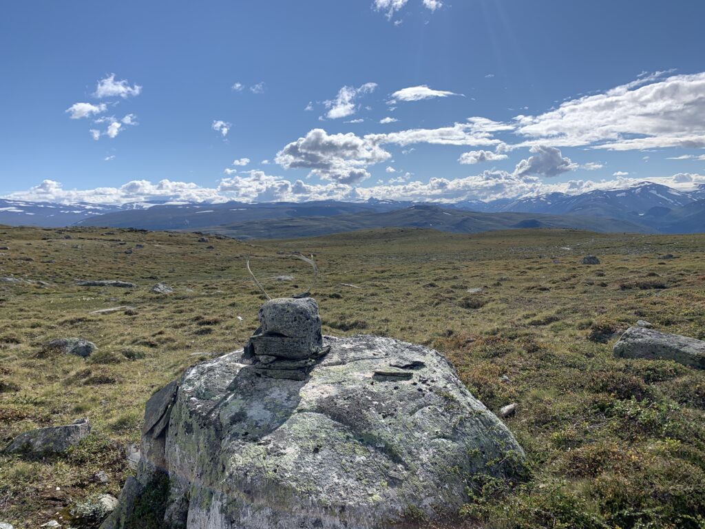
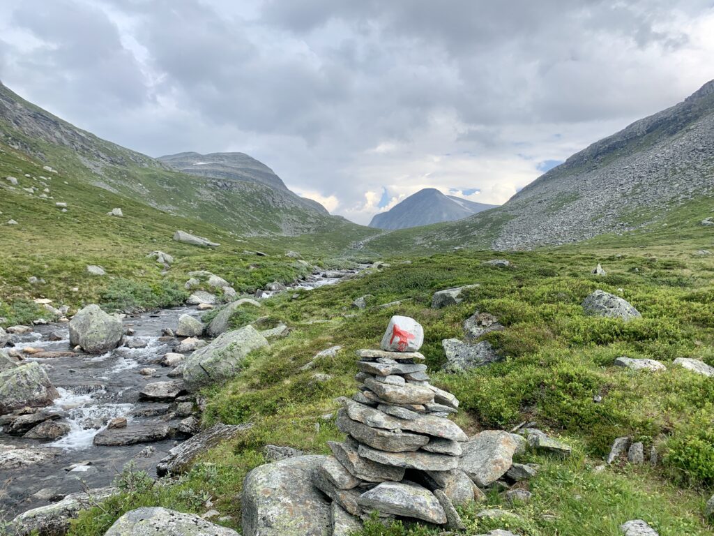
This part of Reinheimen is entirely untouristy and as the name suggests, it is well known for the population of wild reindeer. And as I arrived in the middle of reindeer hunting season, several cars were parked at the national park entrance, with reindeer hunters all around the area and shots frequently heard. In this area, there are no marked trails. However, the direction is rather obvious: Continue straight ahead in a valley. It turned out, however, that, as is often the case, there is a fine trail, though not marked with red Ts. Numerous cairns point in the right direction.

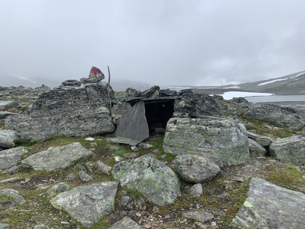
Bergebua, an open hut i Reinheimen

One of the hunters told me about a hut 5 km into the park, directly on the trail, complete with firewood, kitchen utensils etc. and maintained by the community council. Not marked on either norgeskartet or ut.no. Bergebua, the cabin was called,was located right where I was told and very cozy indeed.

I have encountered thousands of tame reindeer (reindeer owned by Sami) during this and other trips, but never wild reindeer. So when I spotted a wild reindeer herd upon reaching the top of a small hill, it was a genuine wow moment: The antlers were incredibly large (they continue to grow as they are not slaughtered) and they move incredibly fast. I looked around and then saw two pair of hunters on the adjacent hilltops, but the herd was moving too fast for them to get a good shot. They told me the wild reindeer had probably perceived my arrival when I was as far as 1000 meters away from them. On a negative note, a massive problem has recently hit several areas of wild reindeer: Skrantesjuke (Chronic wasting disease), a chronic neurologic disease, always deadly. The first time it was seen in Europe was in Skarvheimen (Nordfjella sone 1) in 2016. This year, the first case outside Nordfjella sone 1 was found on Harddangervidda. In this area all the reindeer were shot down by the government in 2017/8 with the plan to reintroduce them after 5 years. Plans for Hardangervidda are as per now in the making.

Meeting a flock of wild reindeer in Reinheimen

Heading out of Reinheimen, I came down to Pollfoss hotel, where I believe I was the only guest. In theory the location, on the major road to the tourist magnet Geiranger should be good for business. At least in non-corona times. However, the place seemed to have seen better times, serving microwaved dinner in a run-down building. And if people think that in these corona times hitch-hiking is impossible, they are wrong: Every time I walked on a stretch of gravel or paved road approximately one car per hour would stop and ask if I needed a lift.

part 17: sunndalen and sunndalsfjella

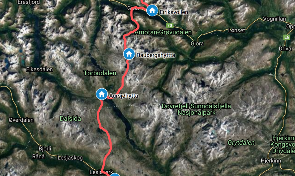
The route: Eiriksvollen-Grøa-Raubergshytta-Aursjøhytta-Vangsvatnet-Romsdalen (Lesjaverk). August 20-25. Day 126-131. 57 km.

The Sunndalsfjella are not particularly wellknown, neither by me. Initially I wondered if Dovrefjell-Sunndalsfjella national park was another word for Dovre national park. It is not. The more well-known Dovrefjella is however right to the east of and continuous with this area, which essentially is a very rocky plateau between Sunndalen and Romsdalen.

Valley between Innerdalen and Sunndalen

Heading down Sunndalen I passed the local “Brooklyn Bridge” as well as a house on “Anfield Road” before heading up into the Sunndalsfjella.

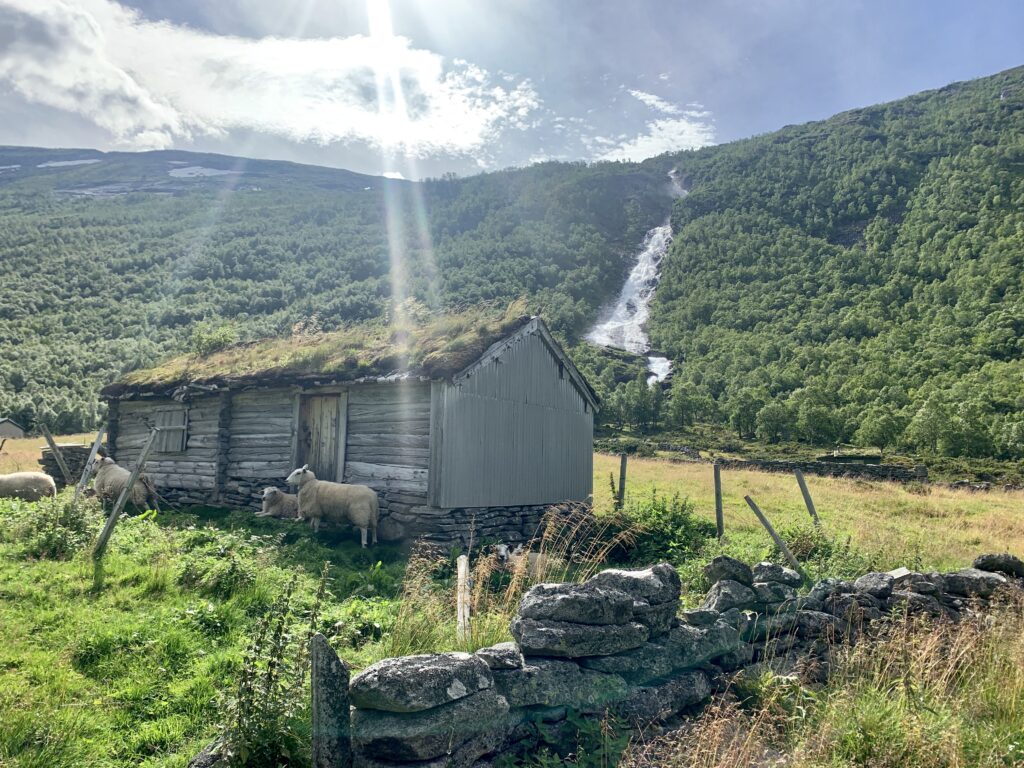
Seter area on the way up into Sunndalsfjella

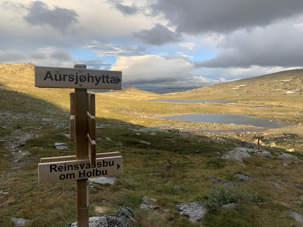
Little visited, I was the only guest at the serviced Aursjøhytta, where I, for the first time I believe, had the Norwegian National Dish “Rømmegrøt med spekemat”. Together with blueberries picked by the host and his wife. Two days in row, as I stayed an extra day due to a massively bad weather forecast, which never materialized, though..

The shortcut to Raubergshytta

At the center of the rocky Sunndalsfjella at a crossroads is Raubergshytta, an exceptionally well-designed and atmospheric self-service DNT cabin, which saved me from a very windy night, having underestimated the time taking an unmarked shortcut through a very bouldery area, scrambling into the cabin minutes before the last daylight was gone, at around 10 pm. There I found a party of fishers who´d walked up the day before, but would return prematurely due to the windy conditions.

I camped at the end of the rainbow at the edge of Romsdalen on the first night of frost, but unfortunately, did not find any gold. On the contrary, I was chased by sheep all the way down the mountainside to Romsdalen, where I had the choice between crawling under a fence and scramble through a bush, or open the gate into a field with +20 big cattle and cross it, whic is the marked route. I chose the scrambling bush option.

Sunndalsfjella between Rauberghytta and Aursjøen

Down in Romsdalen, I took Raumabanen to Åndalsnes to resupply, and buy gloves as well as inner soles as the ones I brought from Copenhagen broke down on the first day out of Trondheim. Curiously, Raumabanen closed down right after I took it to resupply due to filming of a new Mission Impossible. I asked everyone I met if Tom Cruise was going to rappel down Trollveggen, but no-one seemed to know exactly what scenes would be filmed.

The descent into Sunndalen

part 16: innerdalen

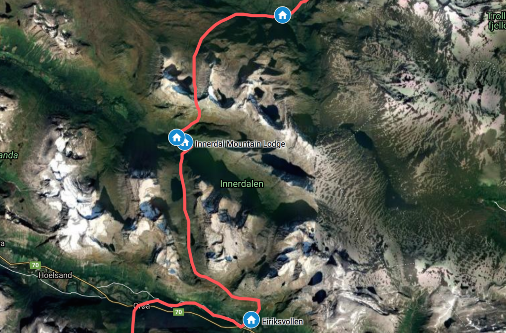
The route: Kårvatn-Bjøråskaret-Innerdalen-Flatvaddalen-Sunndalen (Eiriksvollen). August 14-29, 2020. Day 123-125. 29 km.

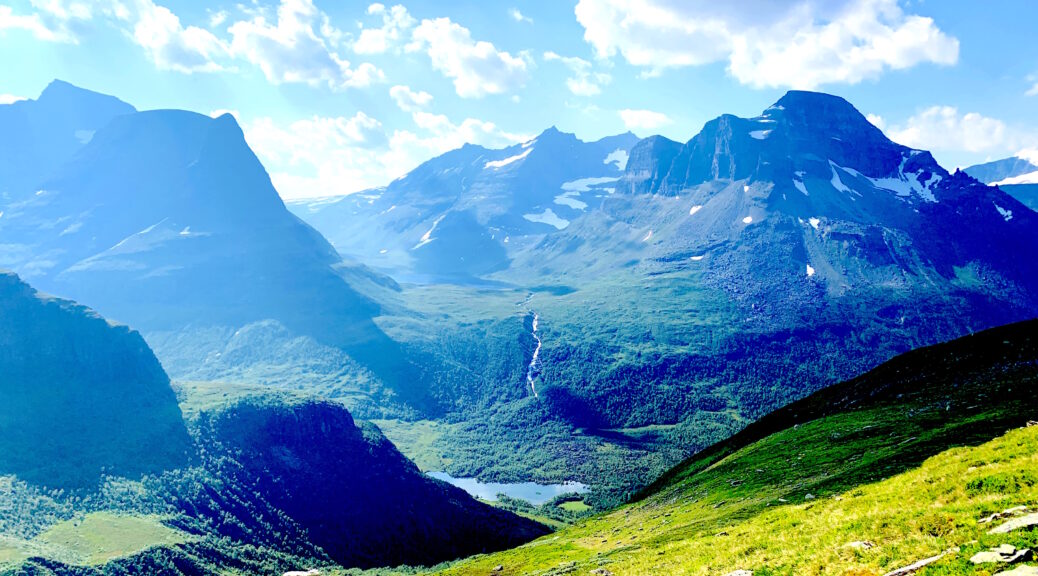
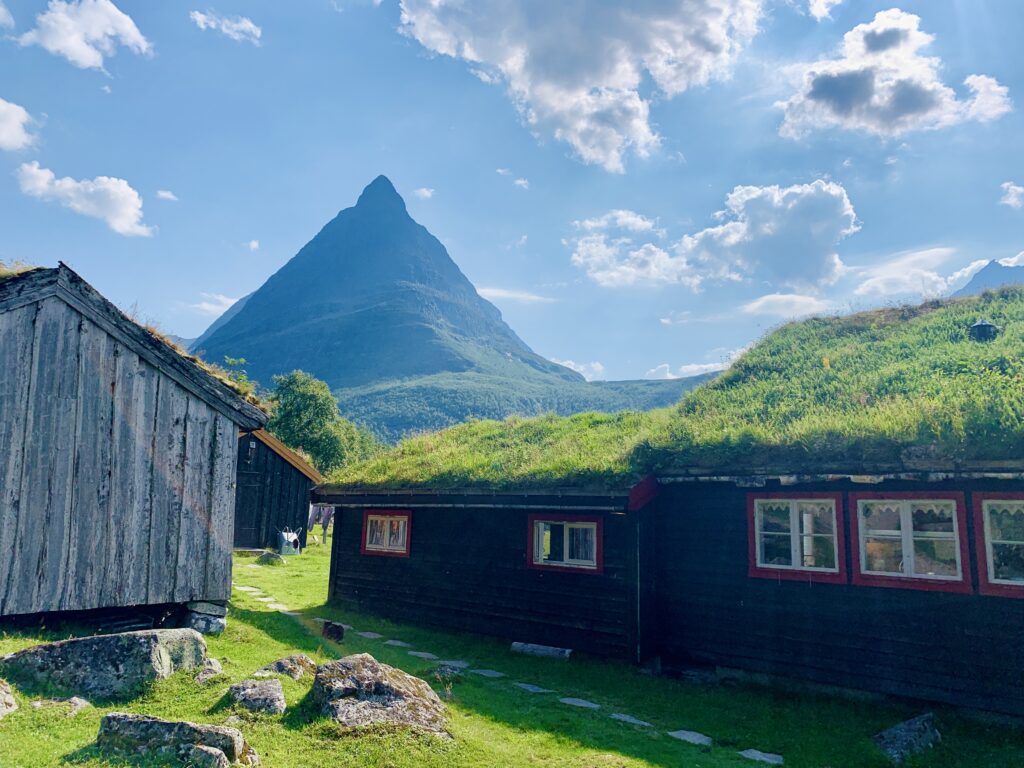
If you google “most beautiful valley in Norway” the search machine comes up with Innerdalen: A mountain valley with several “hanging valleys”, a distinctive mountain tower (Innerdalstårnet) as well a romantic seter (summer mountain pasture) environment complete with a river and a lake.

Innerdalen with Innerdalstårnet

The DNT cabin in Innerdalen was just voted second-best self-service DNT cabin in Norway (Rabothytta came first). The problem with these votings are, of course, that only relatively well-known/well-visited DNT cabins come into consideration in such as public vote: If people do not know (of) the cabin, obviously they do not vote for it. By the way, in my opinion the two best self-service DNT cabins I passed were Pauro (Narvik mountains) and Argalad (Junkerdalen), but they are visited by so few people, that they´d never get enough votes to place them in the top. That said, Innerdalen DNT cabin is a most excellent, historic cabin with a great location in the middle of Innerdalen.

I would have loved to climb Innerdalstårnet, but bearing in mind my left knee and the potential troubles ahead, including the upcoming 900 m descent into Sunndalen, I decided not to. In fact, it turned out that the descent was quite reasonable and well-engineered causing almost no trouble to my knees.

Descent into Innerdalen

The 700 m descent from Bjøråskaret down to Innerdalen on a scree slope was The Steepest descent of Norge på Langs. And the camp spot just below Bjøråskaret was arguably The most beautiful campsite of Norge på Langs (with Fiskedalstinden a runner-up). Having been offline for the past two days I had to stop on the way up to Bjøråskaret when I suddenly got a connection and saw that Manchester City had lost 0-3 to Lyon in Champions League. Do not say that Norge på Langs does not come with sacrifices! So many games, I won´t be able to watch..

Bjøråskaret

Finally, the important question: Is Innerdalen really is the most beautiful valley in Norway, as a google search will make you believe? Does it matter? Not really, but these rankings are always fun to make as well as to read. The answer: It could be. It is spectacular. However Romsdalen (the breathtaking section with Trollveggen and Romsdalshornet) or Reisadalen also could be.

The classic view of Innerdalen from Bjøråskaret

part 15: trollheimen and kårvatn

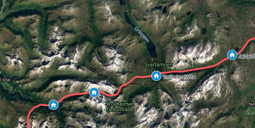
The route: Jøldalshytta-Trollheimshytta-Nauståbu-Kårvatn. August 14-16. Day 120-122. 37 km.

Over the past years, I´ve had some minor troubles with, in particular, my left knee: I can´t really do squats, and though I can run and walk without problems, steep descents slightly worry me, not in technical terms, but in terms of the pressure put on the knee. In his regard, the section between Trollheimen and Sunndalen worried me the most of the entire Norge på Langs: A 600 m steep descent from Trollheimen to Kårvatn, followed by an 800 m ascent and then a very steep descent to Innerdalen. Again followed by an almost 1000 m steep descent into Sunndalen. Initially I thought the last would be the worst, but the steepest descent was in fact the one from Bjøråskaret into Innerdalen.

Around Jøldalshytta: The entrance to Trollheimen

Upon entering Trollheimen, you enter classic seter (summer mountain pastures) area: Plenty of sheep and goats on the trail and idyllic historic farms in the horizon. A popular outdoor area, I met plenty of people on the trail as well as passing the first staffed DNT cabin of Norge på Langs: Jøldalshytta. The Triangle of Trollheimen is a very popular 3-day hike, of which I walked the northern side of the Triangle between Jøldalshytta and Trollheimshytta.

Summer mountain pastures in Trollheimen

Apparently a trail run on the Triangle had originally been scheduled the same day, then canceled due to corona, which some then chose to run independently. Having been offline for two days, unable to watch Champions League, I figured that young, male trailrunners were most likely to be updated on football results and I sat on the front stairs of Trollheimen cabin when I finally got the update: Barcelona-Bayern Múnchen 2-8. Unbelievable.

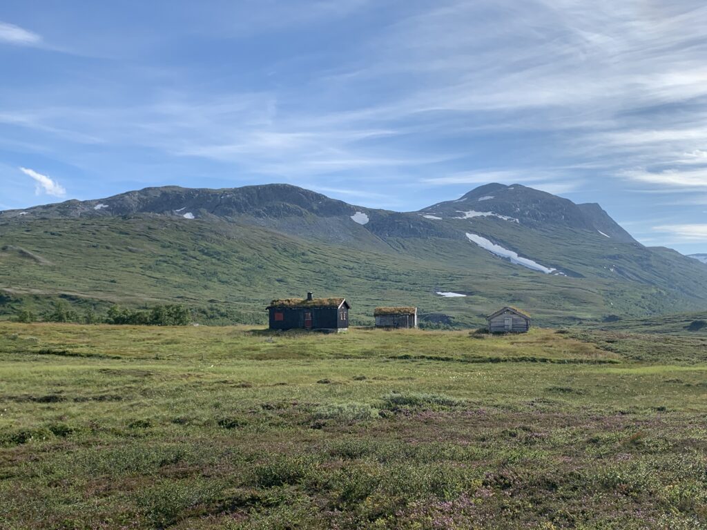
Nauståbu

The walk from Trollheimshytta to Kårvatn is one of those spectacular walks taking you all the way “from summit to sea”: From the high mountains above the treeline, covered with snowfields and through steep mountain valleys past old seter buildings onwards down to the fiord. On the way I passed the idyllically located cabin Nauståbu: A no-service cabin with a hut book, with entries starting as early in 1973 as I found out when looking for entries on my 1972 birthday. Preparations were also ongoing for the annual trailrun Kårvatn Sky Run, marked up the steep mountain side. The small settlement of Kårvatn consists of a farm with free-roaming cattle, a self-service DNT cabin on the premises, and, what I believe to be the most idyllically located outdoor gearshop in Norway, literally in the middle of nowhere: Kårvatn Fjellutstyr. I camped at the designated area next to the river, slightly worried that the free-roaming cattle may take an interest in me, but they didn´t.

Lesson learnt #8: If you camp next to the river on what looks like a nice, flat place and hear sheep in the area, expect them to pass your tent early the next morning looking for water.