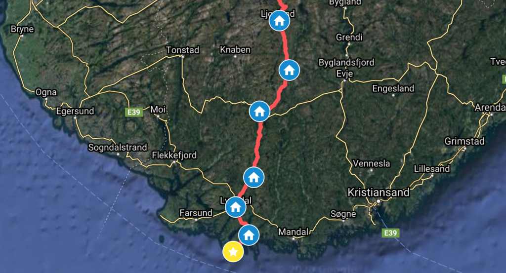
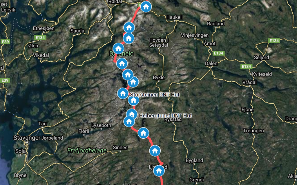
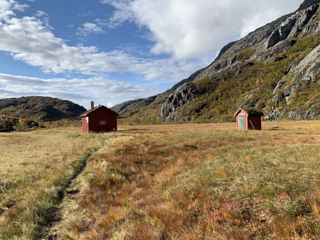
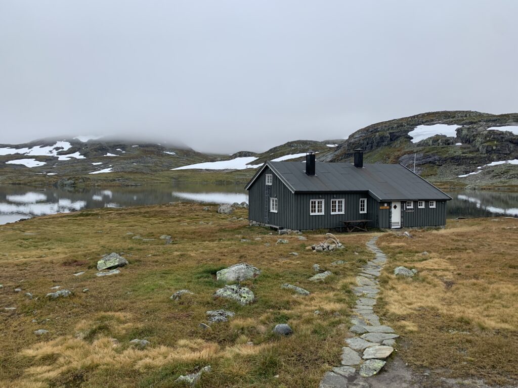
Ljosland Fjellstove marks the end of the mountains. Just 120 km remain to Lindesnes, 90% on paved road. The area around Ljosland is notable for extensive construction work concerning the dam at Langevatn, right north of Ljosland on the trail. In fact, 10 km of newly constructed gravel road along the shore of Langevatn, not yet on any map, significantly lightens the last mountain stretch between Gaukhei and Ljosland. Ljosland Fjellstove, by the way, surprisingly busy, at least 3-4 other guests than me, including a helicopter team servicing the construction work.
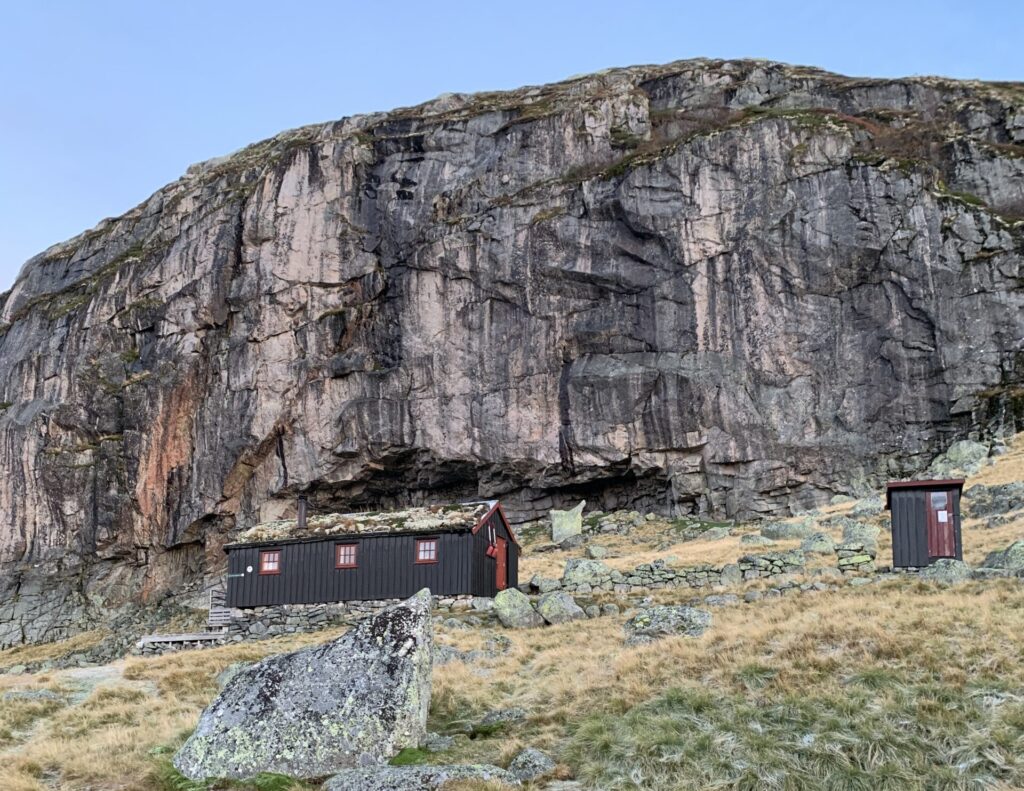
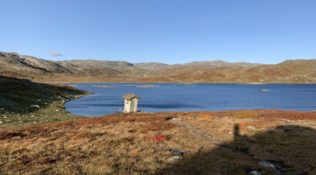
Close to Kyrkjebygda
The remaining 120 km were rather uneventful. The clear, crisp, sunny autumn weather had arrived, and I switched to my Salomon trail shoes for the paved road sections, the exact reason I brought them instead of light sandals. There was almost no traffic on the roads, and I was under much less pressure to get up early. I spent the last night in luxuxy at Lindesnes Havhotel in Spangereid, 12 km from Lindesnes Fyr and right opposite the much-hyped subsea restaurant Under. When I arrived at Lindesnes the next day, it turned out the hotel staff had called Lindesnes Fyr, telling them about my arrival.
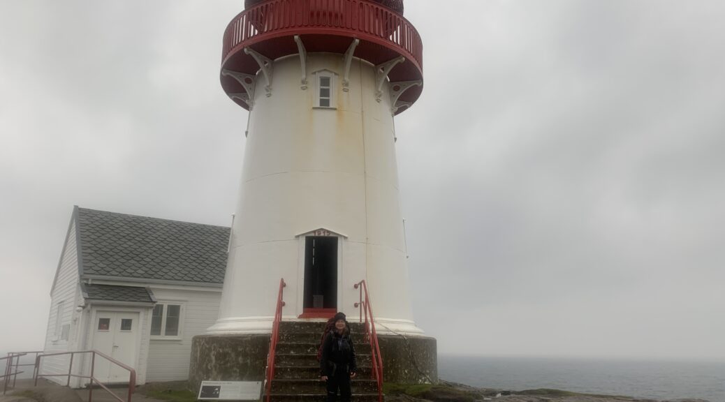
Coffee and waffles at Lindesnes Fyr
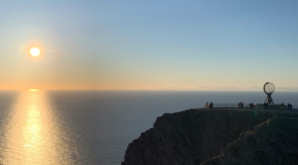
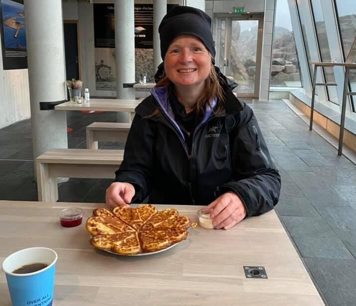
Thus when when I arrived, the lighthouse keeper gave me a tour of the lighthouse as well as offered coffee and waffles. I also wrote a note in the traditional Norge på Langs book. The very kind lighthouse keeper also asked me very thoughtfully if I preferred taking a moment by myself to enjoy the completion of this trip. But, the arrival in Lindesnes was not a powerful moment for me at all. And now to the cliché: The route itself was indeed the goal. While walking I never thought about reaching Lindesnes, I only thought about the mountains I were in and possibly the next ones. And in any case, the moment I arrived in Ljosland and the mountain sections had been completed, I felt the trip more or less had been completed too. Accordingly, while walking the last kilometers out to Lindesnes, I started planning my return to Denmark, which started with hitchhiking back to Spangereid, taking two buses to Kristiansand, then the train to Oslo and finally, the next day, the almost-empty boat to Copenhagen.
Inside Lindesnes Fyr
Norge på Langs was a fantastic experience, but it has not changed my life and it is not something I feel particularly proud to have achieved or otherwise am emotional about: It was quite simply a fantastic trip. There are however things I´d probably do different were I to walk it again, which I´ll write about in a separate post.
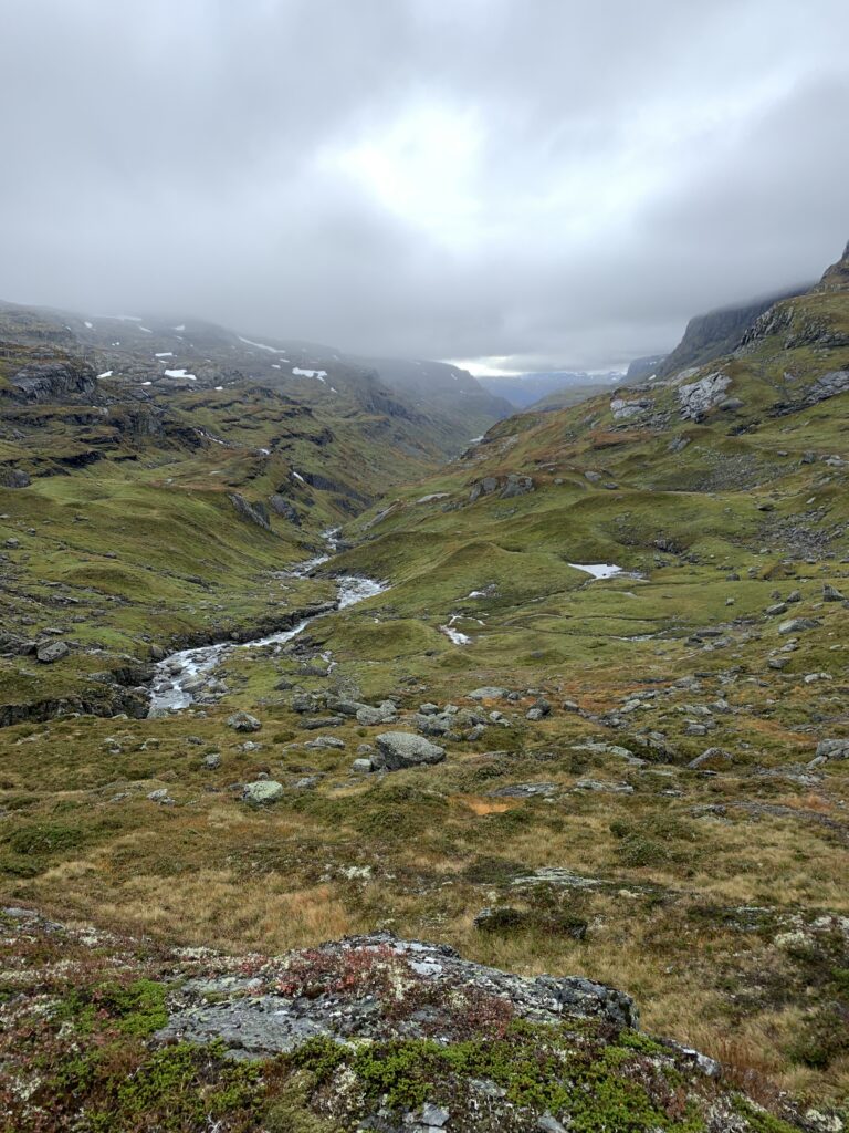
Despite asking every local I met, I am still unsure what is the proper name of this mountain area south of Haukeliseter, east of Lysefjord, west of the road to Kristiansand and north of Ljosland: I thought it was Ryfylkeheiene, but that only covers part of it. Some parts are called Suldalsheiene (the first part including Kvanndalen and Bleskestadmoen) and Setesdalsheiene (the last part Rauheller-Ljosland), with Ryfylkeheine including all that in the middle. I think..
The major geographical feature of this area is the massive, regulated Blåsjø, the 9th biggest lake in Norway. I crossed the dam at the souther end, the more than 1 km long Storevassdammen, the biggest dam in Norway. A local told me that if this dam breaks, a 30 m high flood wave will take two hours to hit the major city of Kristiansand.
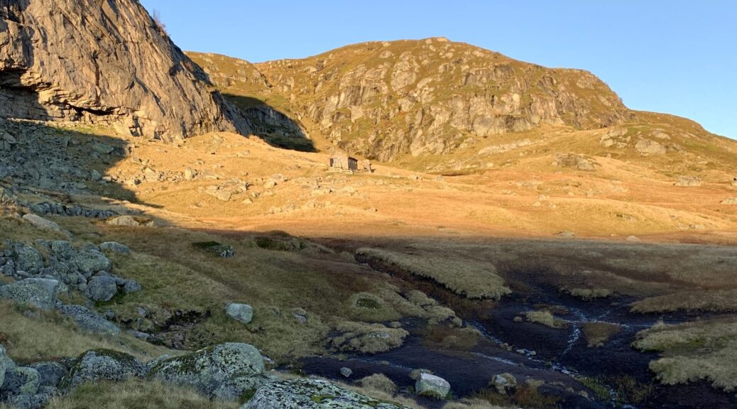
Kvanndalen
By now it gets dark at 7 pm, and as a typical night owl, I am under increasing pressure to start walking the latest at 9. I do have a headlamp, but the markings are so disperse and the terrain so bouldery and challenging that night walking is this area is strictly reserved for emergencies. To my surprise, this was the toughest section of the entire trip: The last mountain section of Norge på Langs, and the only time I (only half-seriously) considering quitting. However, once you leave Haukeliseter there are no easy ways out, unless you want to walk at least 100 km on paved road or take a boat. And again, after more than 2500 km, is it now really the time to skip, for the first time, a mountain section and walk on the road/take a motorized boat?
The oldest (Bleskestadmoen) and the newest (Jonstølen) hut in this area
First of all, I was mentally challenged: I had not studied the section enough and thought I could cross it in 6-7 days. Studying the route in detail in Haukeliseter I realized it´d take me at least 12 days. Minimum. It ended up taking 15 days. So why did I expect Ryfylkeheiene to be easy? I already went to Kjerag, right around the corner, and that was quite challenging, so I should have known better.
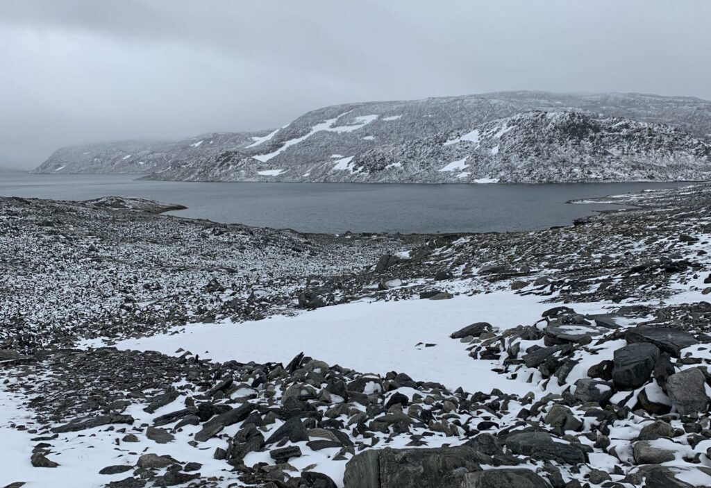
The pass between Kringlevatn and Taumevatn: Winter is on the way
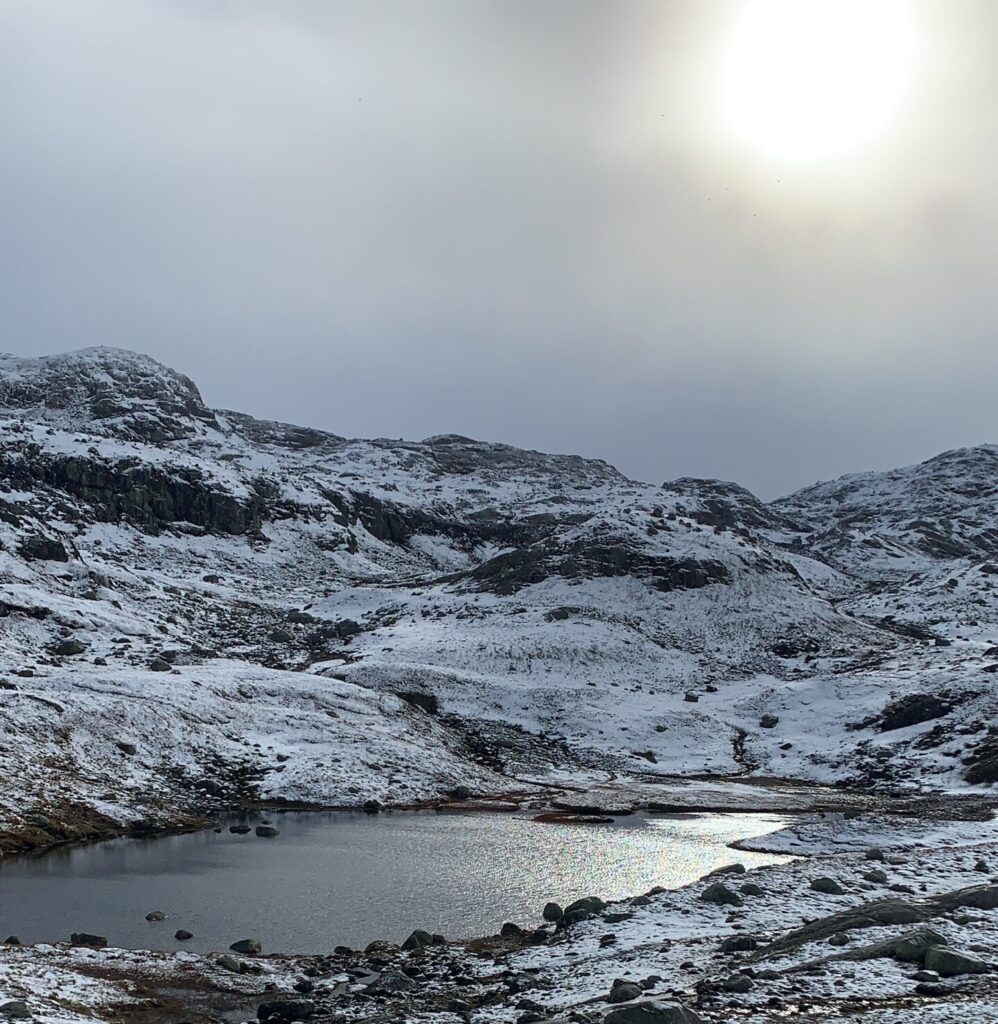
I follwed the classic Haukeliseter-Ådnaram is a skiing/hiking route until Taumevatn. There, the plan was to descend to the road if winter conditions had arrived in the mountains. If not, I would continue 3 days more in the mountains to Ljosland via Håheller and Gauhkhei. Winter had not arrived, despite a bit of snow on the pass between Kringlevatn and Storevatn. For two weeks I had been waiting for that period of autumn with crisp, clear weather, almost zero degrees and sun from a clear sky: At Taumevatn it finally arrived and the last three days down to Ljosland was in the most glorious weather, which in fact lasted all the way down to Lindesnes. All the bridges I passed in this section were permanent, especially welcome was the bridge right before Hovatn: Had the bridge not been there I would have had to walk around the lake.
The snowfields on top of Kyrkjesteindalen. I fell from the top of the upper snowfield and all the way down.
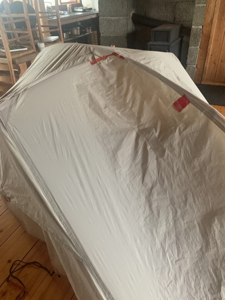
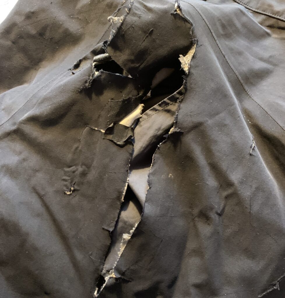
The toughest day of the entire Norge på Lange was completely unexpectedly: Jonsdalen-Krossvatn. 1. The day started with my rain cover blowing away in the strong side winds in Kyrkjesteindalen. 2. I then fell down 50 m on a steep snow/ice field right before the top of the pass in Kyrkjesteindalen. Lesson #9 again. 3. Having to scramble around the snow field on a steep scree slope on op of the pass I then tore a 30 cm rift in my pants. The wind had risen to 20 m/s and I had to camp before dark and found a reasonably sheltered valley. 4. However, the wind direction turned during the night and I had my tent blown almost away resulting in a 2*30 cm tear on the cover when I took it down in 20 m/s the next morning, starting out as soon as I could see the trail markers (7 am). This was the toughest wind I have ever walked in. 5. Not in itself a difficult 5 km section to Krossvatn, but the strong wind gusts made some sections along steep mountain sides slightly scary. Lesson learnt #12: 20 m/s is the maximum wind speed allowing me to walk.
The tear in my tent as well as in my pants after the snowfield in Kyrkjesteindalen and windy conditions between Jonstølen and Krossvatn.
I saw 8 sheep in the pass above Storevatn. It is far too late for sheep and I took photos as well as noted down the GPS position. At Kringlevatn sheep herders passed by asking us to contact them if we saw sheep, but I didn´t get their contact info. However, the same evening, at Taumevatn another group of sheep herders were out looking for the last sheep to bring down before winter They worked on behalf of a sort of cooperation: 4500 sheep in total, 140 were still missing. In that context 8 sheep may just be worth the hike up to the pass.
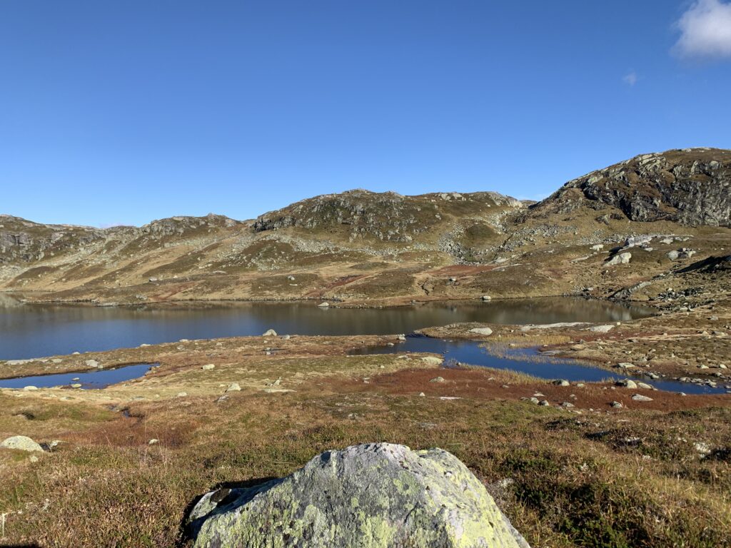
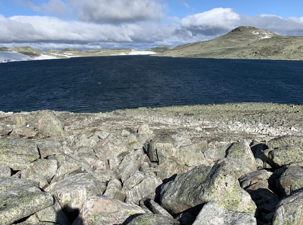
A glorious day between Taumevatn and Håheller
Despite no genuine technical difficulties, the ever-undulating terrain, especially on the eastern shore of Blåsjø is just tough and would have been a nightmare to walk with frost/ice on the stones. Luckily the night frost had not set in for real yet. I listened to an episode of the “DNT Utestemmer” podcast with Thomas Alsgaard, the previous Olympic skiing champion, who attempted Norge på Langs in 2019. He started at Lindesnes end-May, possibly the worst time of year to cross this area with the ongoing snowmelt and massive rivers. Despite these challenges he managed 50-60 km per day, but after this section he took the bus and eventually bowed out. I often thought of these 50-60 km he made per day, when I struggled to make even 10, though I had reasonable conditions.
Håheller
As usual I met no people on the rail. So I was surprised meet a family having installed themselves for about a week in the very rarely visited Vassdalstjørn cabin, hunting grouse in the area. Again, I was met with amazing hospitality, being invited to both dinner and breakfast while one of them vacated a room for me to sleep in.
The crossing of Hardangervidda from Finse to Haukeliseter is an all-time Norwegian classic, summer as well as winter. It was, in fact, during my first crossing of Hardangervidda, on a slightly more western route in 2016, that I met the woman who inspired me to walk Norge på Langs in the first place.
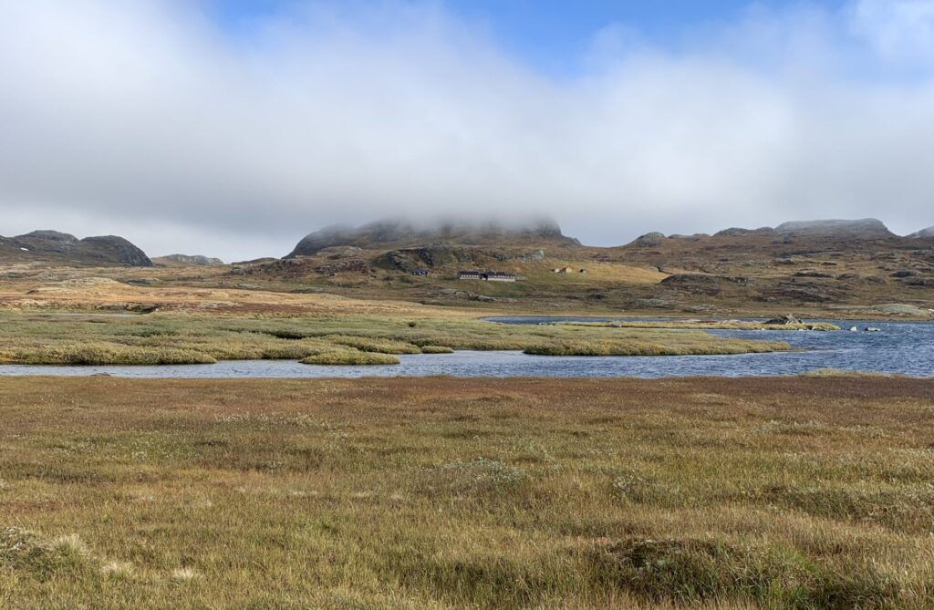
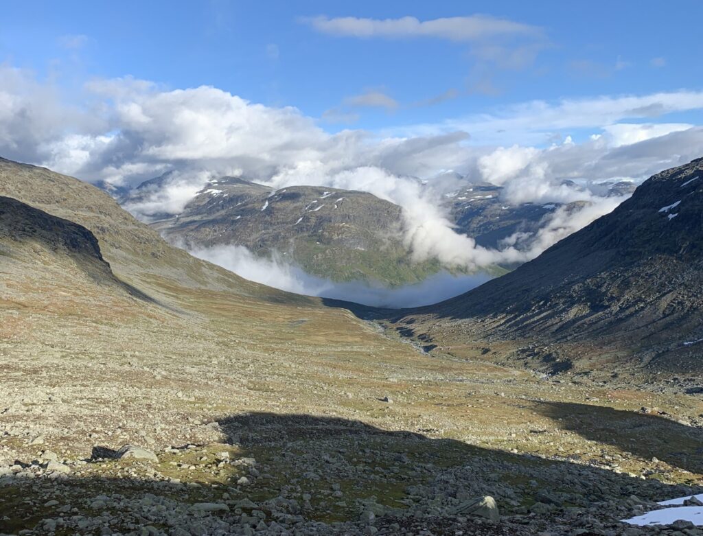
Between Finse and Krækkja
It is a common misconception that Hardangervidda is flat. I knew that the western part (more or less west of Litlos) is far from flat. And, as I learned on this trip, that the area from Sandhaug to Litlos is not that flat either. Further east around Rauhelleren is where the famously flat area is. Apart from a couple of reindeer hunters at Sandhaug, I did not see any people during the 7 days from Finse to Haukeliseter, though I did pass the same single green tent twice around Litlos and Hellevassbu and I occasionally heard shots in the distance: The last period of reindeer hunting.
Litlos
About half-way between Finse and Krækkja I saw two solitary sheep close to the trail. I wasn´t sure if the sheep had already been collected for winter in this area, it varies a bit from place to place, but as these two were the only ones I saw, they probably had unintentionally been left behind. Often contact info is posted on the trail for hikers if they spot sheep out of season, but as I didn´t see any contact info on this trail nor in the cabin in Finse, I sent a message to Krækkja DNT cabin on Instagram, just before I lost phone connection. I am, however, unsure if it is considered worthwhile for the sheep farmer to walk for so many hours to collect only two sheep. However, often they do a re-collection a bit later on, as these two are certainly not the only ones left behing. For the sheep it is a death sentence if they do not manage to get down from the mountains before the permanent snow settles.
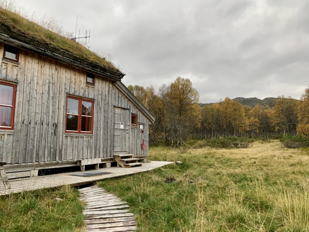
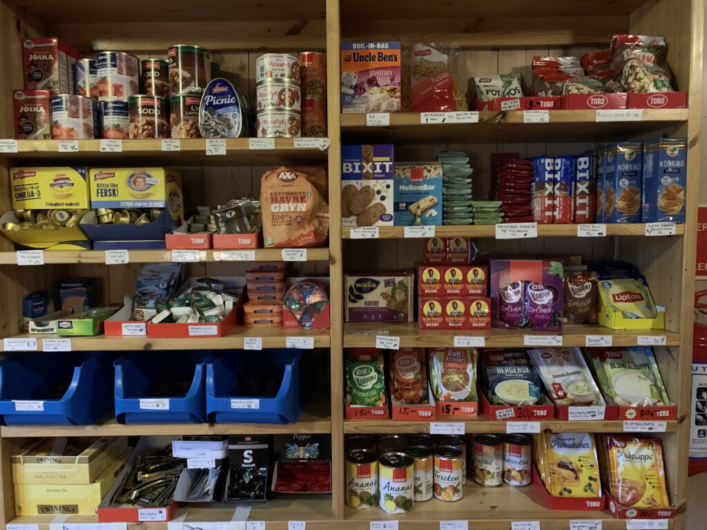
Hellevassbu cabin with the classic food storage in self-service DNT cabins
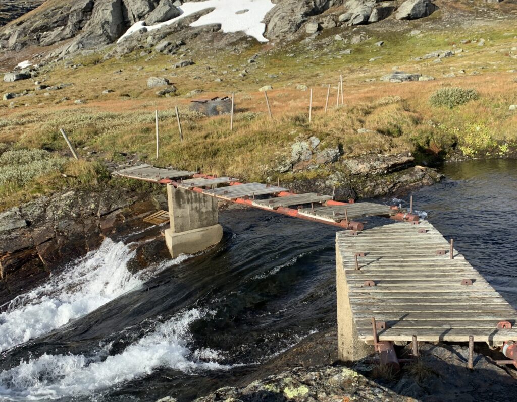
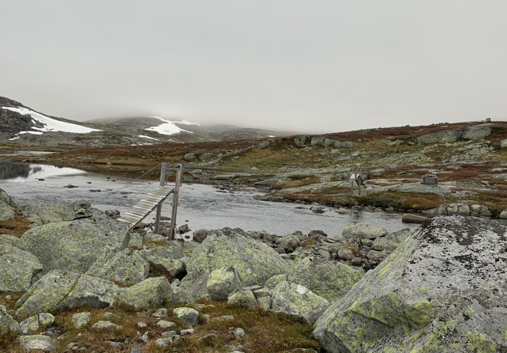
It is the end of September and around time removing the summer bridges. Luckily, all the summer bridges on Hardangervidda was still in place. Or so I thought, when I arrived at Hellevassbu cabin, the last cabin before Haukeliseter. I did notice that the hut warden of Hellevassbu had just spent 6 nights at the cabin and I briefly wondered what she had been doing for 6 days. I soon enough found out: All 4 summer bridges between Hellevassbu and Haukeliseter had been removed. While I completely understand that the removal of bridges are done by volunteers with limited time at their disposal, the decision to remove those bridges the week before autumn break seems strange indeed. Especially since the helicopters had not yet arrived to remove the bridge material. The removal of these bridges lead to the deepest river crossings of the entire Norge på Langs, with water touching the lower part of my backpack. Safe enough though, because there was no current. I should note that though the bridge just after Litlos was technically still in place, it was ruined. In fact, all river crossings with summer bridges I passed at Hardangervidda would have been feasible this time of year on foot.
The bridge after Litlos (left) and one of the four removed bridges between Hellevassbu and Haukeliseter (right)
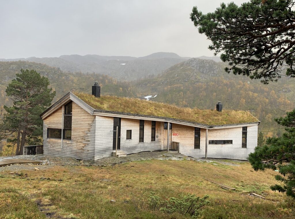
Finse is a major reference point in this area, normally with both a privately owned hotel and a staffed DNT cabin. However, due to the coronavirus, the hotel was closed and the staffed DNT cabin, unrelated to corona, was under renovation. However, a brand-new self-service cabin, Brebua, compete with hot water and electricity just opened in July 2020, and I was thus one of the first guests there. The other major reference point in this area, right after Hardangervidda, is Haukeliseter DNT cabin: The most visited of all DNT cabins, right on the highway, and indeed more a hotel, than a cabin complete with both a restaurant and a small shop. When I arrived here, I assumed the difficult mountain sections were past me. It turned out, they were not….(to be continued).
Skarvheimen is the somewhat lesser known mountain area between Jotunheimen and Hardangervidda and includes Hallingskarvet national park, the 12th, and second-last, of Norge på Langs. For the first time I wondered if winter was coming: I first met the snow a few kilometers from Sulebu cabin on the afternoon of September 10. It continued to snow throughout the night and the 15 cm new snow made the stone fields nightmarishly slippery in them morning, and I ended up taking a partly unmarked shortcut through the mountains down to the Skarvheim cabin (previously called Breistølbu), which probably ended up taking the same amount of time as walking the original route.
Snow around Sulebu
Well inside the Skarvheim cabin, the weather caught up with me. 20 m/s, snow and temperatures below zero. I spent four days inside, renewing my reservation every morning via DNTs online system as per the new regulations. At the same time several rescues were made in the surrounding mountain areas, most notably on Galdhøpiggen, where a spectacular rescue took place: A man got lost on his way down from Galdhøpiggen in the early, his first mountain hike. When rescue teams were called off in the evening, my initial thoughts were that he would not make it in subzero temperatures, very strong wind and with no equipment. Miraculously however, he found an abandoned tent with a sleeping bag inside on the mountain side (?!?!), and was fine when he was found the next morning. First time I have ever heard of such luck..
The area around Bjordalsbu
When I finally left Skarvheim cabin, all the newly fallen snow had melted, to my great relief, and the conditions were fine. To put it mildly, however, Skarvheimen is full of stones, especially around Bjordalsbu and the snow fields are slippery, often covered by a thin layer of ice and sometimes impossible to pass without at least microspikes (lesson already learnt #9). Luckily there is practically always a way around. In fact, there were so many stones that I wondered whether ”Skarv” means stone. It doesn´t however, the name of area was changed to “Skarvheimen” in 1995 after a vote, based on the proximity to Hallingskarvet and Reineskarvet and many still know it as Nordfjella, the original name). This is also the epicentre of the CWD outbreak in wild reindeer, which led to the entire wild reindeer population of the area being removed in 2017/18.
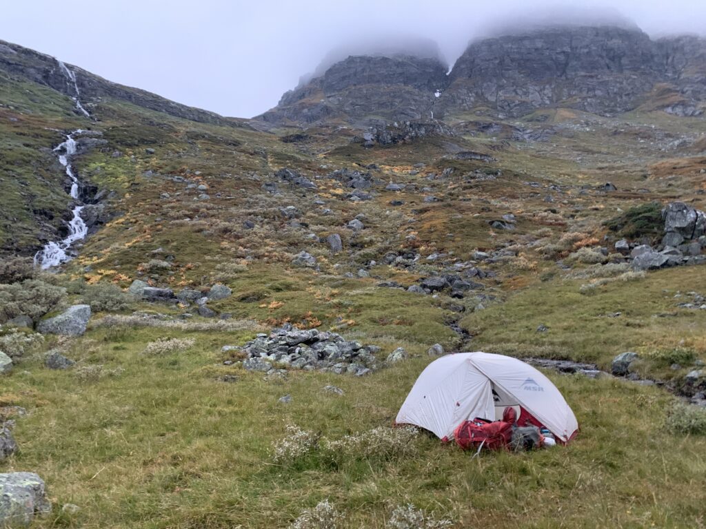
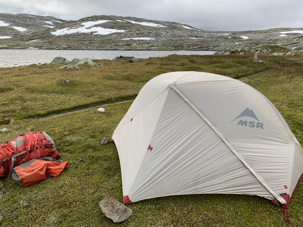
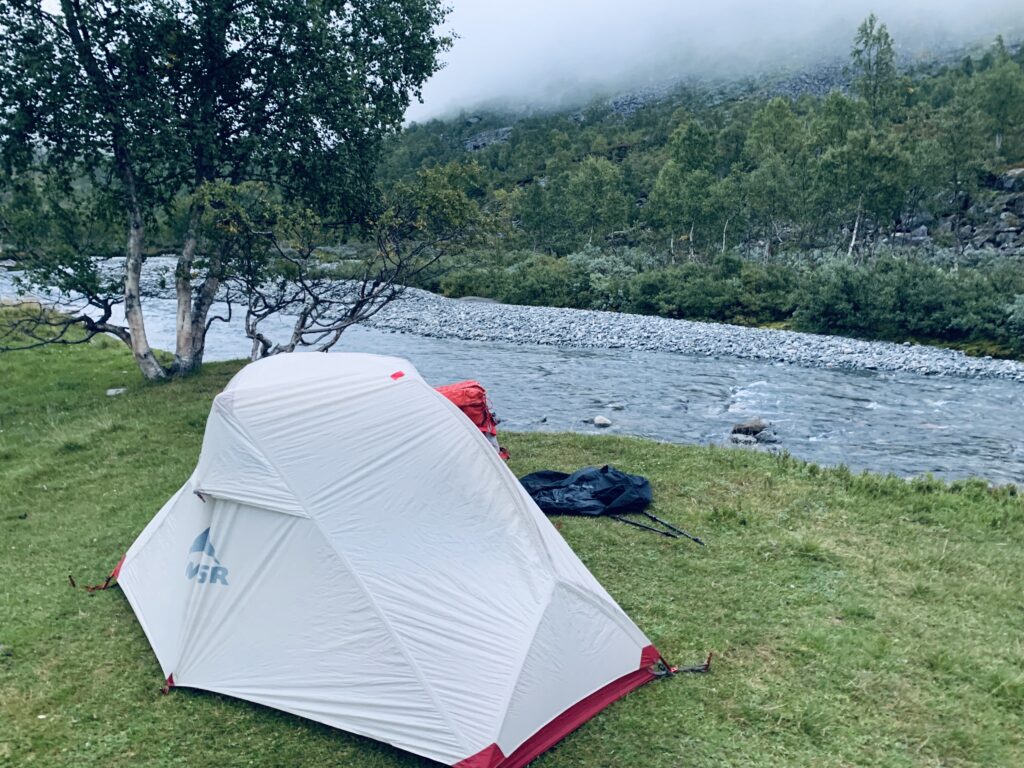
Camping between Geiterygghytta and Finse
The day walk between Bjordalsbu-Iungsdalshytta is a Top 5 contender for the most beautiful day on Norge på Langs: Stones and stones as well as a couple of slippery snowfields in a spectacular stone desert on a very well-engineered path, passing through a small saddle ”Hell” to move from one valley to another before descending into Iungsdalen.The serviced seasonal cabins have now all been closed for the season (Breistølbu, Iungsdalshytta, Geiterygghytta) and during the 5 days from I left Skarvheim cabin, walked through Skarvheimen to Geiterygghytta I did not see one single person.
Rocky path approaching Kongshelleren
I had almost not had any, even remotely bad weather on the entire trip, but the very popular day walk between Geiterygghytta and Finse via Klebu cabin was one of the few days where I saw nothing but fog and rain/snow and none of the fabulous views for which this section is famous.
Close to Klemsbu between Geiterygghytta and Finse
Lesson learnt #11: The first snowfall often disappears, though it may take a couple of days. Furthermore, even small amounts of snow make certain stone fields, especially the bouldery, treacherous.
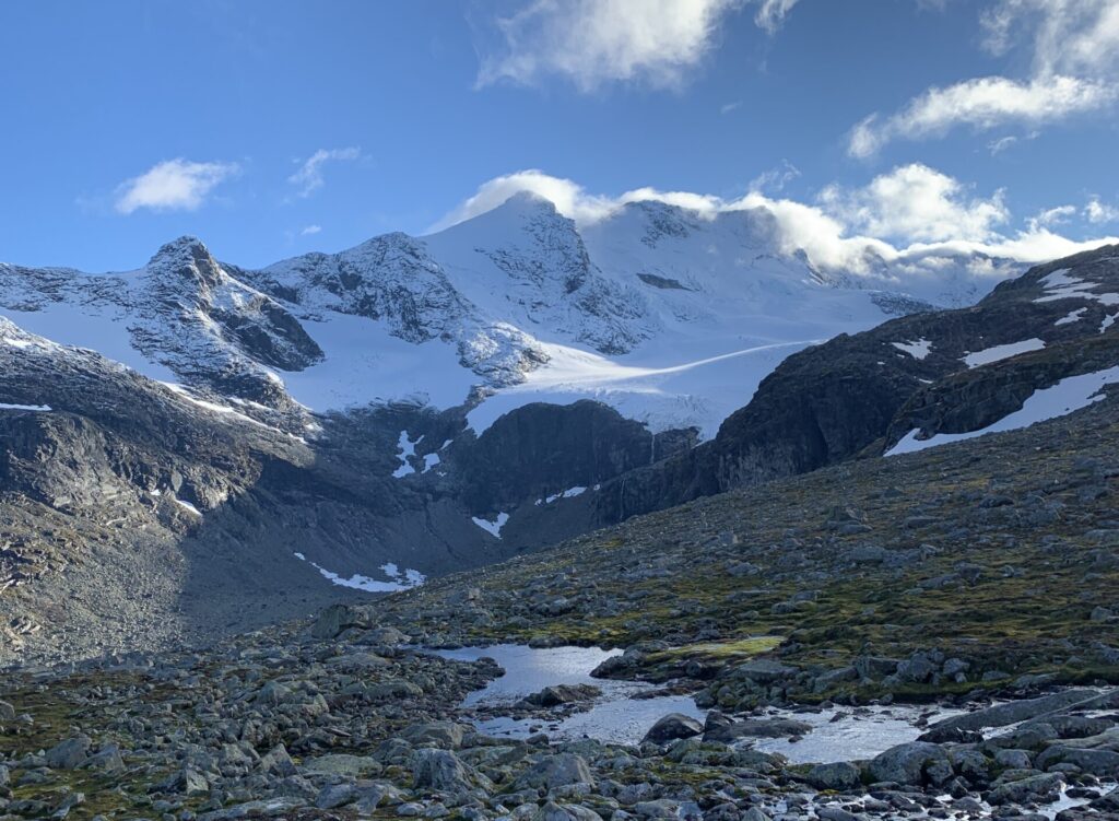
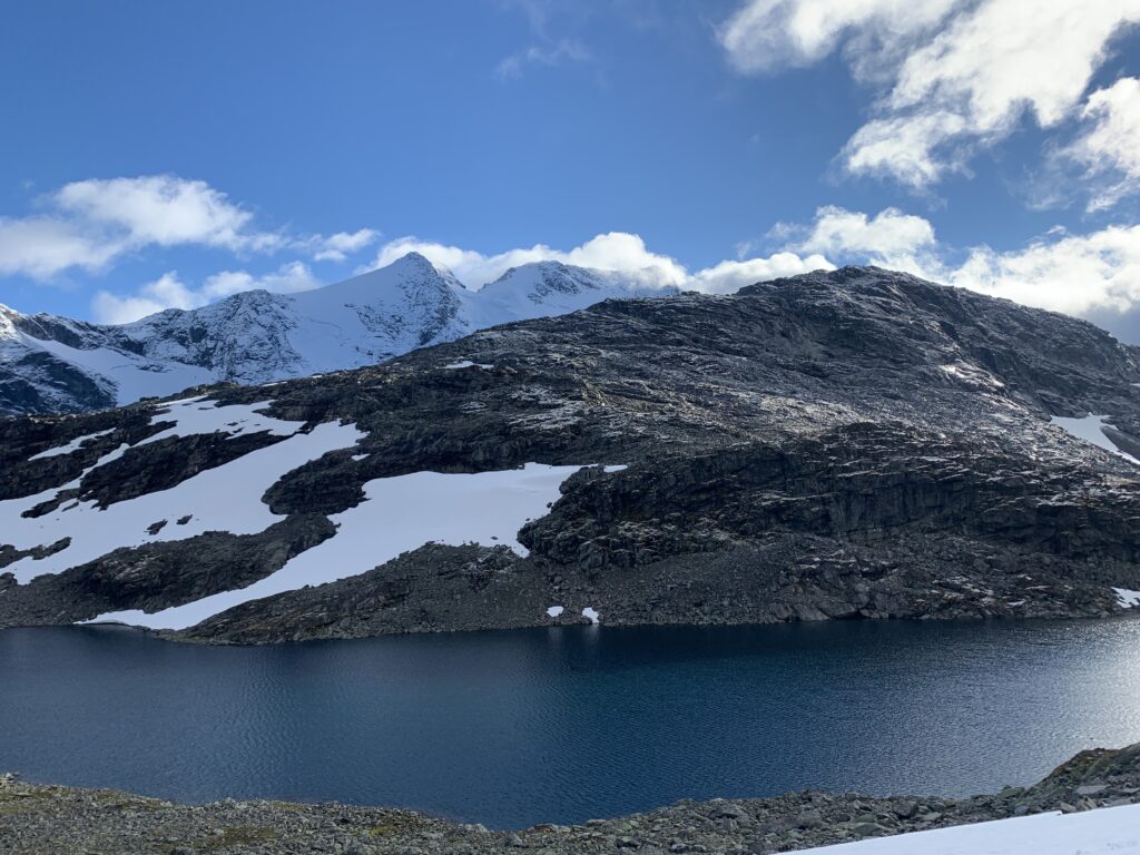
The Roof of Norway. Home of the Giants. Jotunheimen is arguably the high alpine national park in Norway: From a general plateau of around 1000 m, 80 moutain tops above 2000 m tops shoot up everywhere around you. In Norway, mountain tops 2000 m are considered “high alpine” and collecting 2000 meter peaks, of which there are between 186-386 depending on definition, is not uncommon. All the highest Norwegian mountains are in Jotunheimen, the highest top outside Jotunheimen being Snøhetta, the 26th highest in Norway at 2286 m. Galdhøpiggen, the highest mountain in Norway is 2469 m, Glittertind, the second-highest, and arguably more spectacular is as 2460 m. I have been to both before, but I had not climbed any 2000 m´s on the Norge på Langs, and had looked forward to climbing Mjølkedalstinden in Central Jotunheimen, however the weather prevented that. I did however, meet two guys Koldedalsvatnet aiming to climb Falketind on a day with close to zero visibility. I later saw on a Facebook group that they made it.
View towards Styggedalstindane and Utladalen
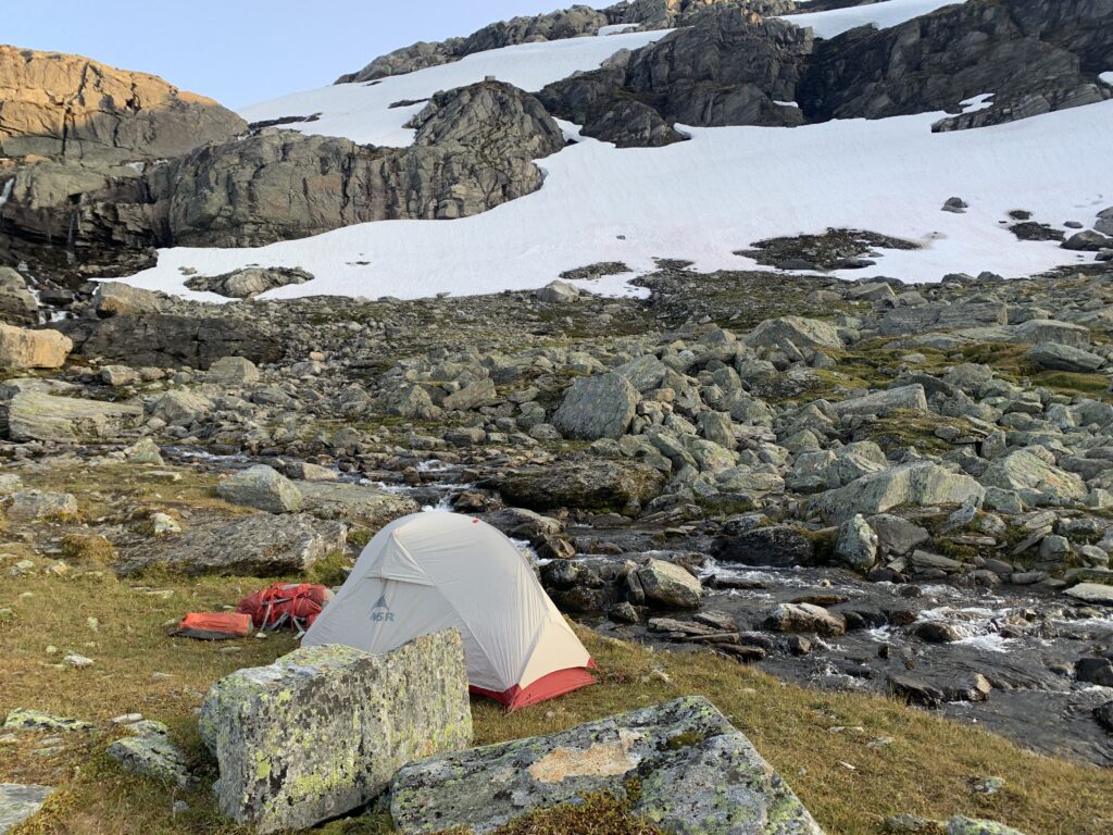
For the first time since Knivskjellodden, I experienced genuinely adverse weather: Temperatures around zero, a mix of snow and rain in windy conditions. I struggled to get over Uradalsbandet and ended up spending 30 hours in my tent close to Uradalsvatnet, completely soaked, with water leaking into the tent from below as well. Another reminder, that my excellent lightweight MSR Hubba NX tent is made for pure summer conditions in the Norwegian mountains. I took a calculated risk bringing it as it only weighed 1,3 kg as opposed to the extra kilo for my Hilleberg Soulo, which I increasingly regretted not bringing as autumn carried on. Interestingly, during those 30 hours in the tent, I listened to quite a few podcasts, including an episode ofDNT Utestemmer with Linn Therese Helgesen, at 15,the youngest person to ascend all of Norways 2000+ peaks (377 according to her definition). She is also the daughter of the author of the autoritative book on the subject “Norges fjelltopper over 2000 m”, previously hard to get hold of, but I bought one 3 years ago at Jostedalsbreen national park centre.
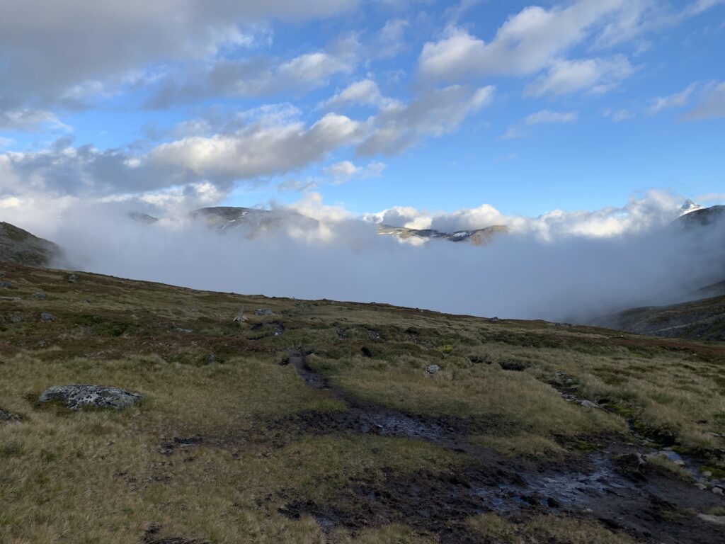
Mist over Utladalen
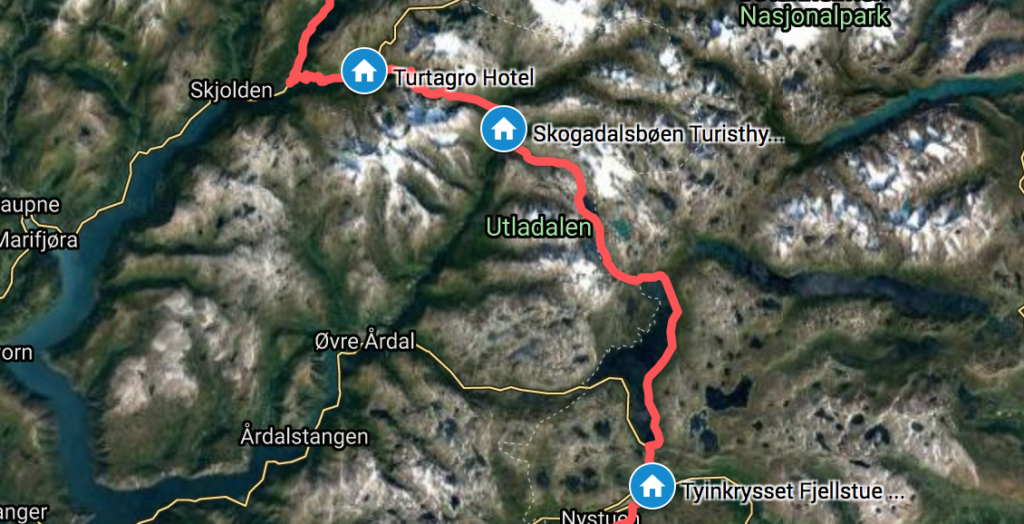
Looking ahead to the next section with mountain passes over 1600 m in Skarvheimen, I started wondering if winter really was coming or not. Accroding to data on senorge.no from the past 5 years the snow falling now would most likely still melt, but you never know. Descending Jotunheimen I passed by Tyinkrysset to resupply and had a chat with the man working in the sports store, and he also was of the opinion that the recent snow would not last. The only cabin I passed in Jotunheimen was the very popular Skogadalsbøen cabin, but they had chosen to close more than a week before originally announced. Start of september is perhaps the most spectacular time of year in Utladalen, but as I was told, the people walking in the mountains this time of year, school holidays being over, often are not working anymore, and this category of hikers have generally chosen to cancel their trip due to corona. I did not see one single person during my 3-day traverse of Jotunheimen from Turtagrø to Koldedalsvatnet, confirming that not many people are out and about in the mountains now.
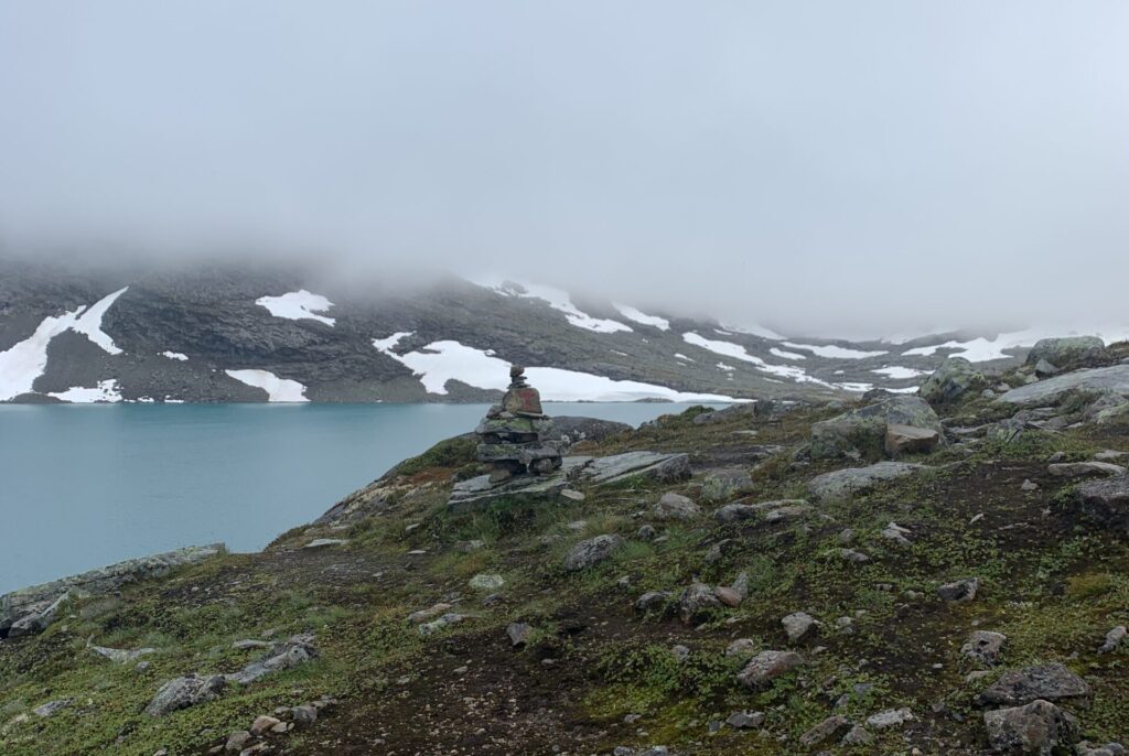
Koldedalsvatnet towards Falketind, hidden in the clouds.
I have been to Jotunheimen several times before, including a 3-week round trip in 2016, including tourist magnets such as Galdhøpiggen, Besseggen and Glittertind. For me, the most spectacular area of Jotunheimen is the Centre-West: The area around Olavsbu and down towards Utladalen, an additional reason for me to prefer a more western route in Norge på Langs, as opposed to coming from Røros and then passing through Eastern Jotunheimen. The Centre is quite simply more wild: The mountains seem higher and closer, the valleys deeper and the rivers are wilder, as opposed to the more open geography in the area around Besseggen.
Drem trip #8: A trip around Central Jotunheimen including Mjølkedalstinden and Olavsbu. Lesson learnt #10: Lightweight 3-season tents are not recommended in the Norwegian mountains, especially not in autumn.