
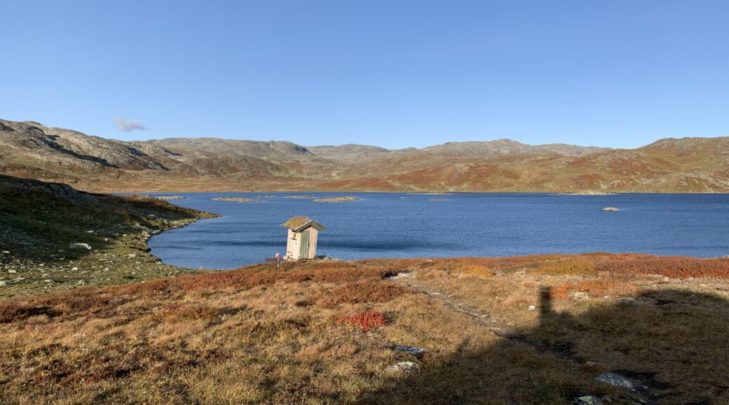
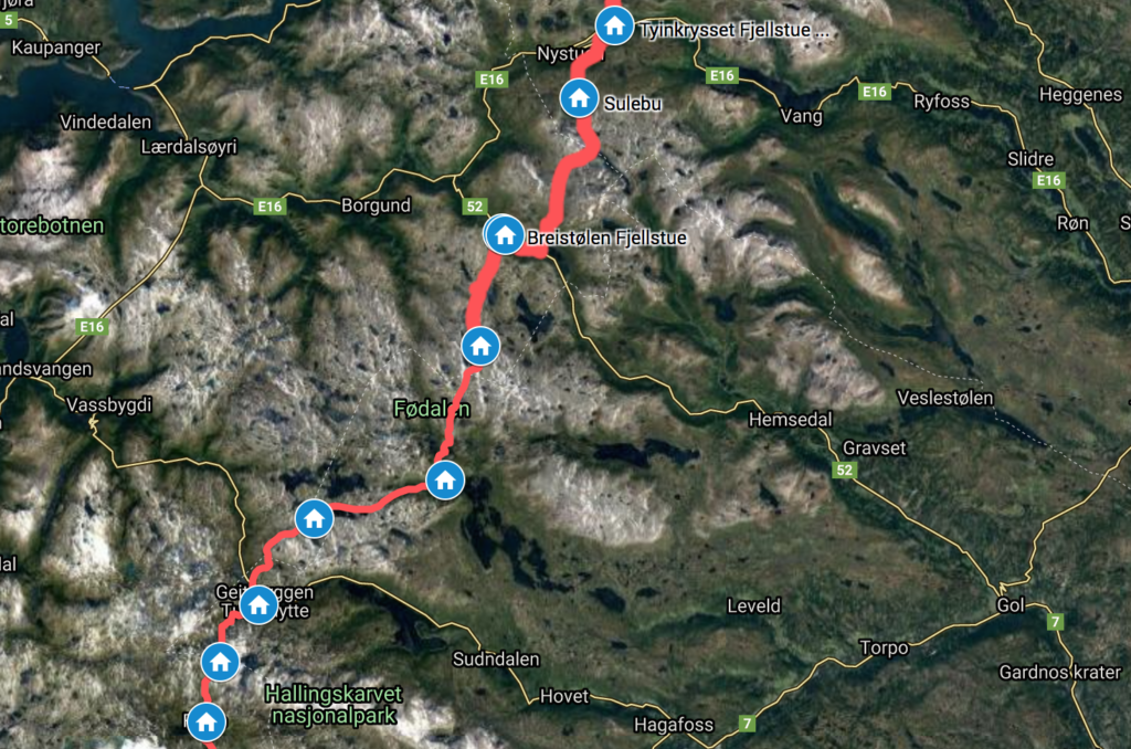
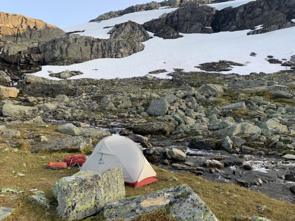
Skarvheimen is the somewhat lesser known mountain area between Jotunheimen and Hardangervidda and includes Hallingskarvet national park, the 12th, and second-last, of Norge på Langs. For the first time I wondered if winter was coming: I first met the snow a few kilometers from Sulebu cabin on the afternoon of September 10. It continued to snow throughout the night and the 15 cm new snow made the stone fields nightmarishly slippery in them morning, and I ended up taking a partly unmarked shortcut through the mountains down to the Skarvheim cabin (previously called Breistølbu), which probably ended up taking the same amount of time as walking the original route.
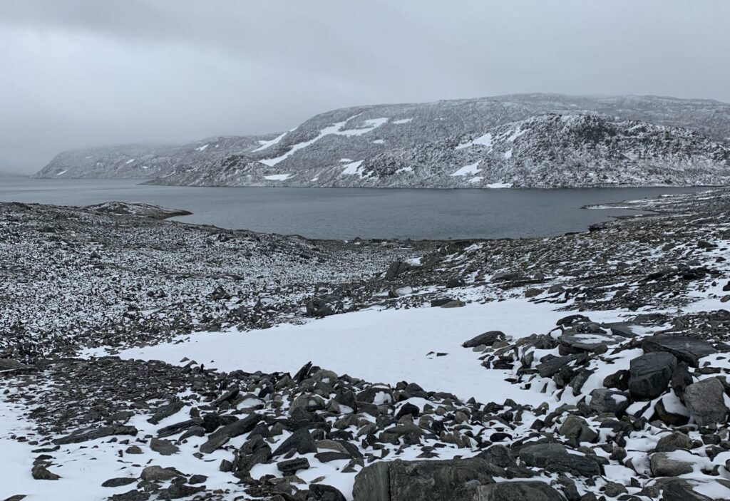
Well inside the Skarvheim cabin, the weather caught up with me. 20 m/s, snow and temperatures below zero. I spent four days inside, renewing my reservation every morning via DNTs online system as per the new regulations. At the same time several rescues were made in the surrounding mountain areas, most notably on Galdhøpiggen, where a spectacular rescue took place: A man got lost on his way down from Galdhøpiggen in the early, his first mountain hike. When rescue teams were called off in the evening, my initial thoughts were that he would not make it in subzero temperatures, very strong wind and with no equipment. Miraculously however, he found an abandoned tent with a sleeping bag inside on the mountain side (?!?!), and was fine when he was found the next morning. First time I have ever heard of such luck..

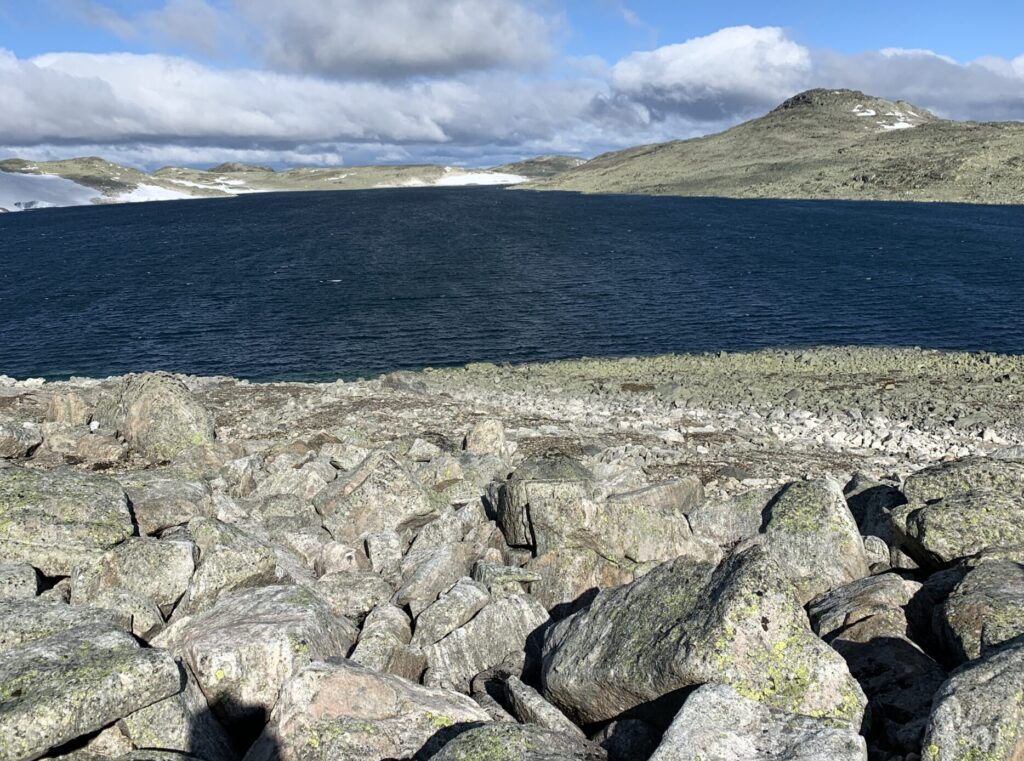
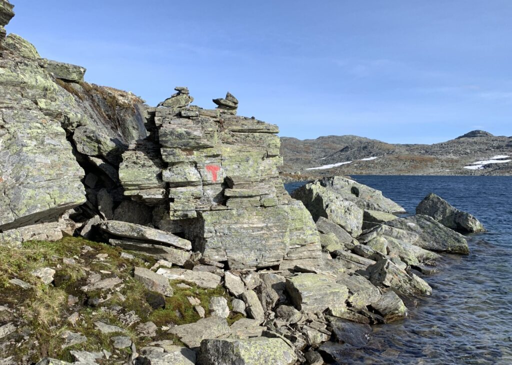
When I finally left Skarvheim cabin, all the newly fallen snow had melted, to my great relief, and the conditions were fine. To put it mildly, however, Skarvheimen is full of stones, especially around Bjordalsbu and the snow fields are slippery, often covered by a thin layer of ice and sometimes impossible to pass without at least microspikes (lesson already learnt #9). Luckily there is practically always a way around. In fact, there were so many stones that I wondered whether ”Skarv” means stone. It doesn´t however, the name of area was changed to “Skarvheimen” in 1995 after a vote, based on the proximity to Hallingskarvet and Reineskarvet and many still know it as Nordfjella, the original name). This is also the epicentre of the CWD outbreak in wild reindeer, which led to the entire wild reindeer population of the area being removed in 2017/18.
The day walk between Bjordalsbu-Iungsdalshytta is a Top 5 contender for the most beautiful day on Norge på Langs: Stones and stones as well as a couple of slippery snowfields in a spectacular stone desert on a very well-engineered path, passing through a small saddle ”Hell” to move from one valley to another before descending into Iungsdalen.The serviced seasonal cabins have now all been closed for the season (Breistølbu, Iungsdalshytta, Geiterygghytta) and during the 5 days from I left Skarvheim cabin, walked through Skarvheimen to Geiterygghytta I did not see one single person.
I had almost not had any, even remotely bad weather on the entire trip, but the very popular day walk between Geiterygghytta and Finse via Klebu cabin was one of the few days where I saw nothing but fog and rain/snow and none of the fabulous views for which this section is famous.
Lesson learnt #11: The first snowfall often disappears, though it may take a couple of days. Furthermore, even small amounts of snow make certain stone fields, especially the bouldery, treacherous.


