
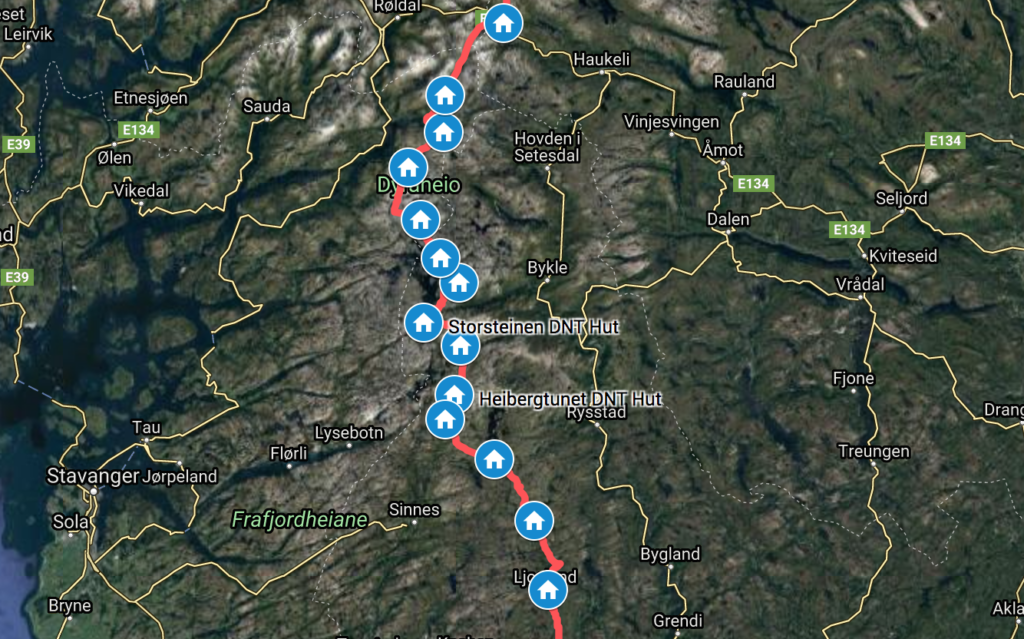
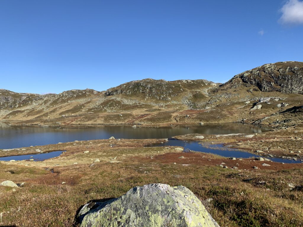
Despite asking every local I met, I am still unsure what is the proper name of this mountain area south of Haukeliseter, east of Lysefjord, west of the road to Kristiansand and north of Ljosland: I thought it was Ryfylkeheiene, but that only covers part of it. Some parts are called Suldalsheiene (the first part including Kvanndalen and Bleskestadmoen) and Setesdalsheiene (the last part Rauheller-Ljosland), with Ryfylkeheine including all that in the middle. I think..
The major geographical feature of this area is the massive, regulated Blåsjø, the 9th biggest lake in Norway. I crossed the dam at the souther end, the more than 1 km long Storevassdammen, the biggest dam in Norway. A local told me that if this dam breaks, a 30 m high flood wave will take two hours to hit the major city of Kristiansand.
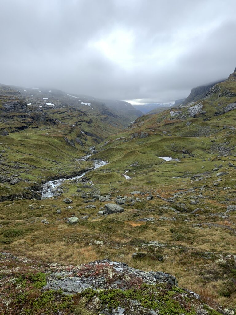
By now it gets dark at 7 pm, and as a typical night owl, I am under increasing pressure to start walking the latest at 9. I do have a headlamp, but the markings are so disperse and the terrain so bouldery and challenging that night walking is this area is strictly reserved for emergencies. To my surprise, this was the toughest section of the entire trip: The last mountain section of Norge på Langs, and the only time I (only half-seriously) considering quitting. However, once you leave Haukeliseter there are no easy ways out, unless you want to walk at least 100 km on paved road or take a boat. And again, after more than 2500 km, is it now really the time to skip, for the first time, a mountain section and walk on the road/take a motorized boat?
First of all, I was mentally challenged: I had not studied the section enough and thought I could cross it in 6-7 days. Studying the route in detail in Haukeliseter I realized it´d take me at least 12 days. Minimum. It ended up taking 15 days. So why did I expect Ryfylkeheiene to be easy? I already went to Kjerag, right around the corner, and that was quite challenging, so I should have known better.
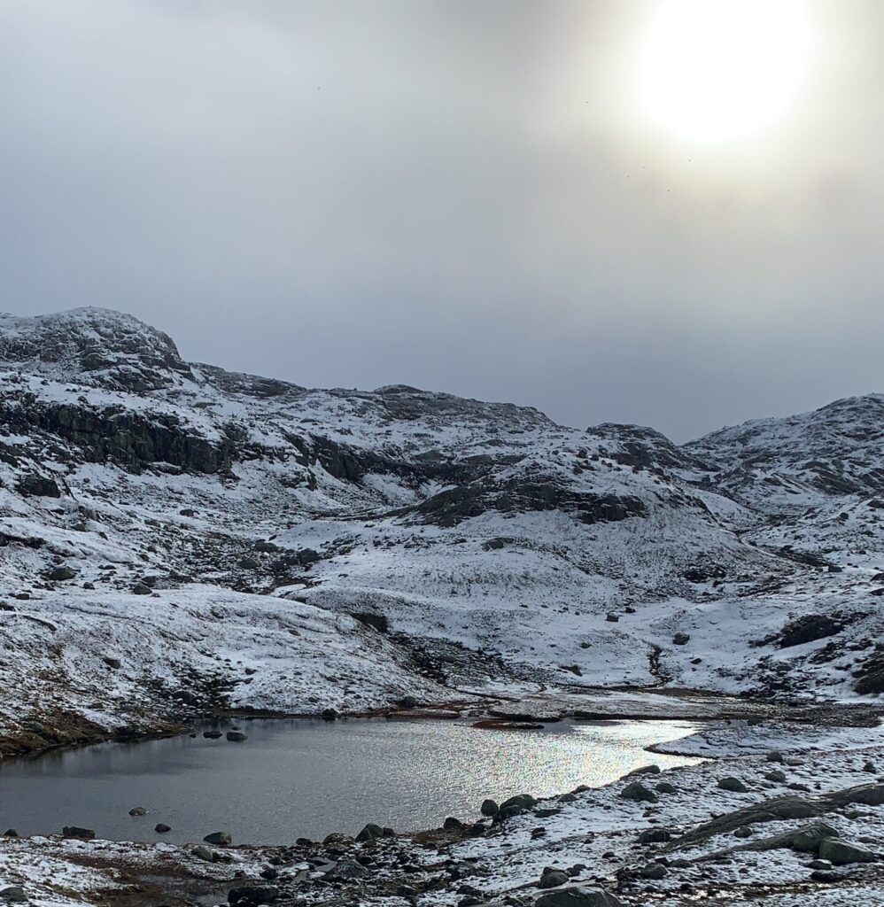
I follwed the classic Haukeliseter-Ådnaram is a skiing/hiking route until Taumevatn. There, the plan was to descend to the road if winter conditions had arrived in the mountains. If not, I would continue 3 days more in the mountains to Ljosland via Håheller and Gauhkhei. Winter had not arrived, despite a bit of snow on the pass between Kringlevatn and Storevatn. For two weeks I had been waiting for that period of autumn with crisp, clear weather, almost zero degrees and sun from a clear sky: At Taumevatn it finally arrived and the last three days down to Ljosland was in the most glorious weather, which in fact lasted all the way down to Lindesnes. All the bridges I passed in this section were permanent, especially welcome was the bridge right before Hovatn: Had the bridge not been there I would have had to walk around the lake.
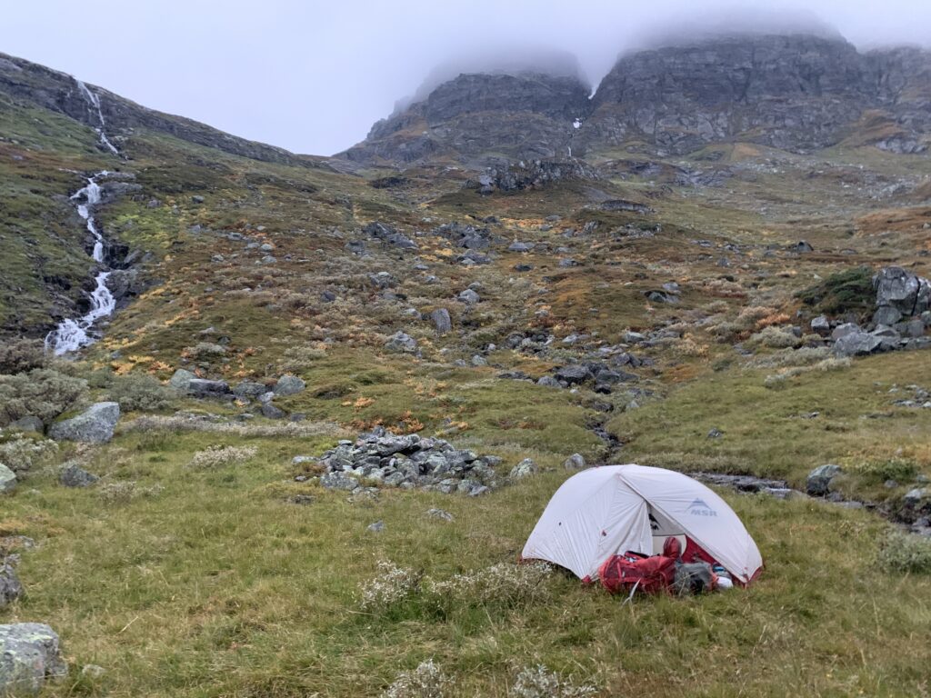
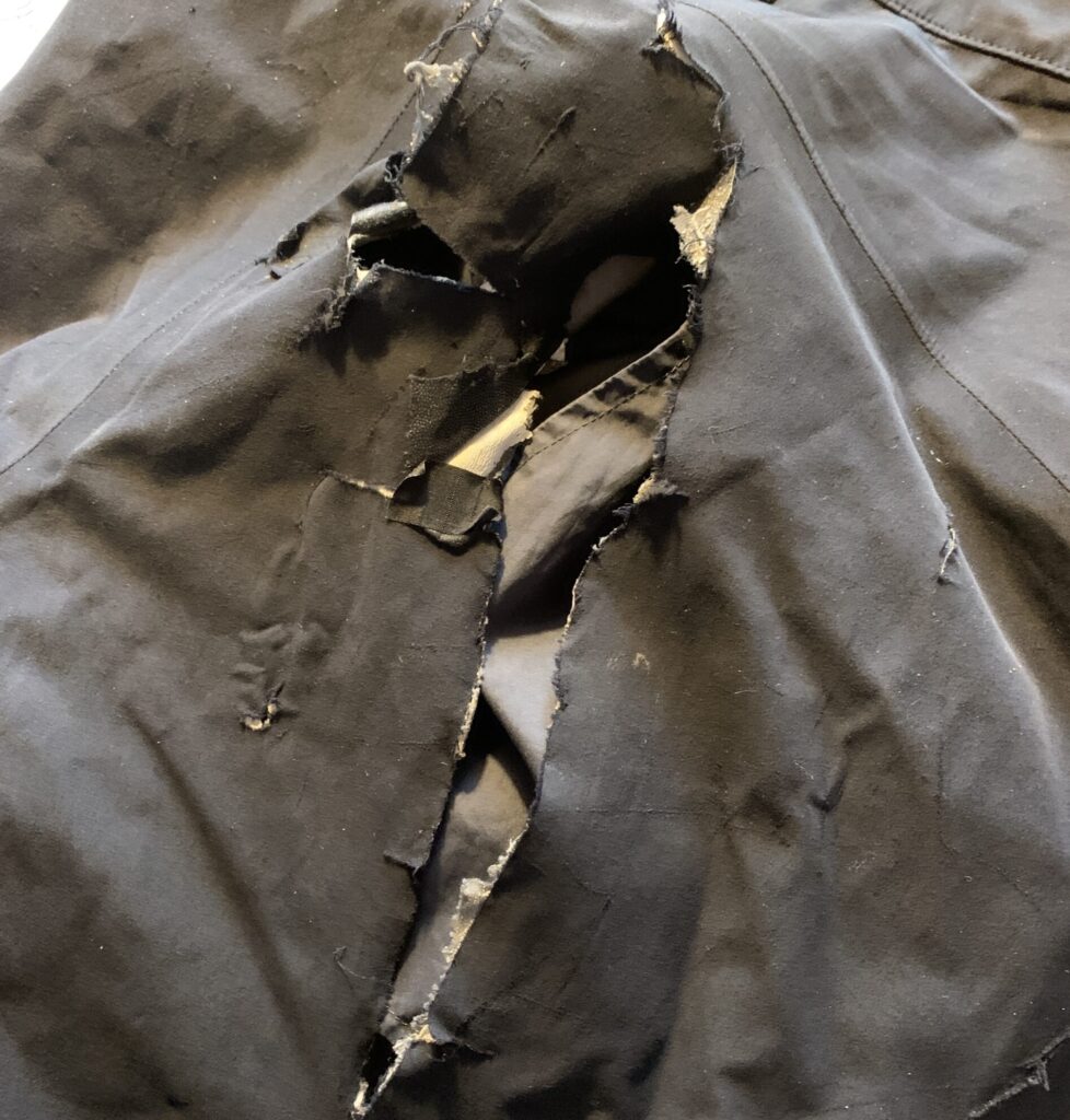
The toughest day of the entire Norge på Lange was completely unexpectedly: Jonsdalen-Krossvatn. 1. The day started with my rain cover blowing away in the strong side winds in Kyrkjesteindalen. 2. I then fell down 50 m on a steep snow/ice field right before the top of the pass in Kyrkjesteindalen. Lesson #9 again. 3. Having to scramble around the snow field on a steep scree slope on op of the pass I then tore a 30 cm rift in my pants. The wind had risen to 20 m/s and I had to camp before dark and found a reasonably sheltered valley. 4. However, the wind direction turned during the night and I had my tent blown almost away resulting in a 2*30 cm tear on the cover when I took it down in 20 m/s the next morning, starting out as soon as I could see the trail markers (7 am). This was the toughest wind I have ever walked in. 5. Not in itself a difficult 5 km section to Krossvatn, but the strong wind gusts made some sections along steep mountain sides slightly scary.
Lesson learnt #12: 20 m/s is the maximum wind speed allowing me to walk.
I saw 8 sheep in the pass above Storevatn. It is far too late for sheep and I took photos as well as noted down the GPS position. At Kringlevatn sheep herders passed by asking us to contact them if we saw sheep, but I didn´t get their contact info. However, the same evening, at Taumevatn another group of sheep herders were out looking for the last sheep to bring down before winter They worked on behalf of a sort of cooperation: 4500 sheep in total, 140 were still missing. In that context 8 sheep may just be worth the hike up to the pass.
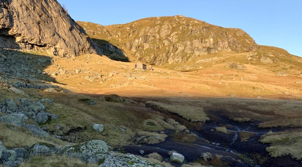
Despite no genuine technical difficulties, the ever-undulating terrain, especially on the eastern shore of Blåsjø is just tough and would have been a nightmare to walk with frost/ice on the stones. Luckily the night frost had not set in for real yet. I listened to an episode of the “DNT Utestemmer” podcast with Thomas Alsgaard, the previous Olympic skiing champion, who attempted Norge på Langs in 2019. He started at Lindesnes end-May, possibly the worst time of year to cross this area with the ongoing snowmelt and massive rivers. Despite these challenges he managed 50-60 km per day, but after this section he took the bus and eventually bowed out. I often thought of these 50-60 km he made per day, when I struggled to make even 10, though I had reasonable conditions.
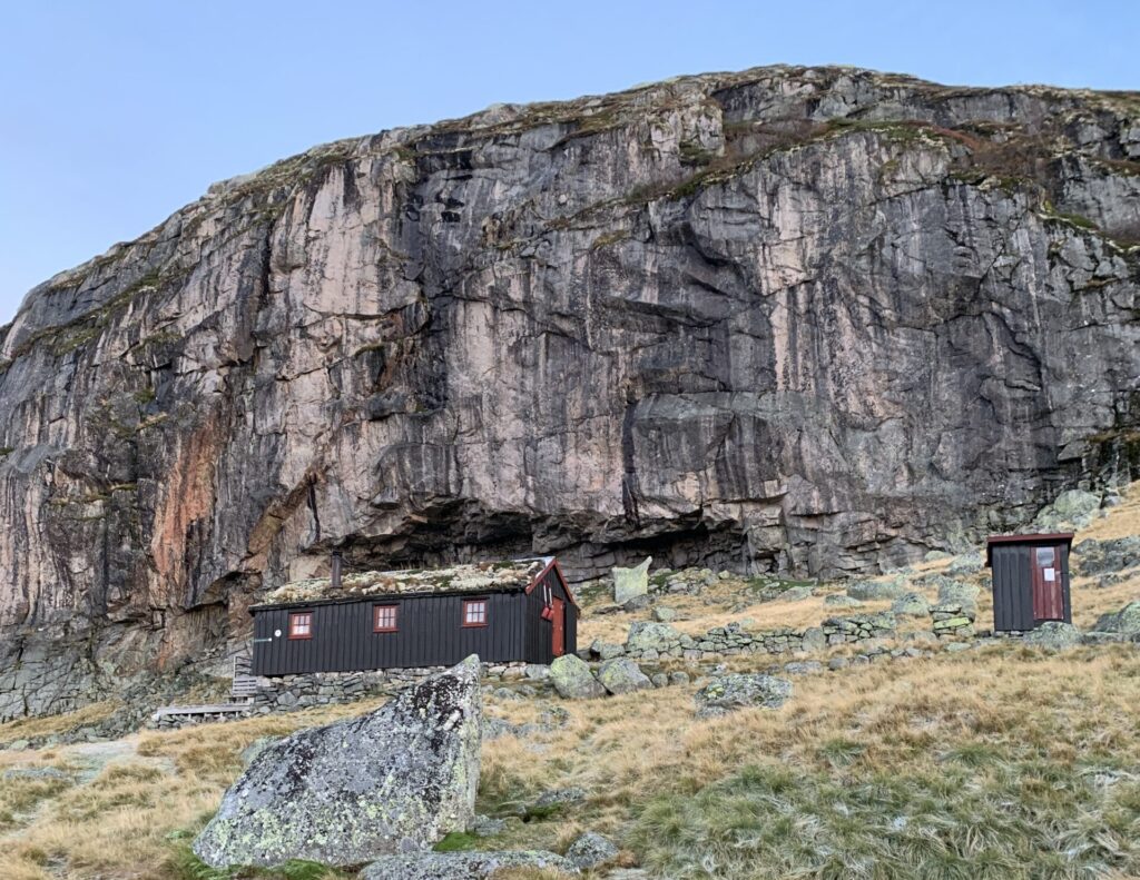
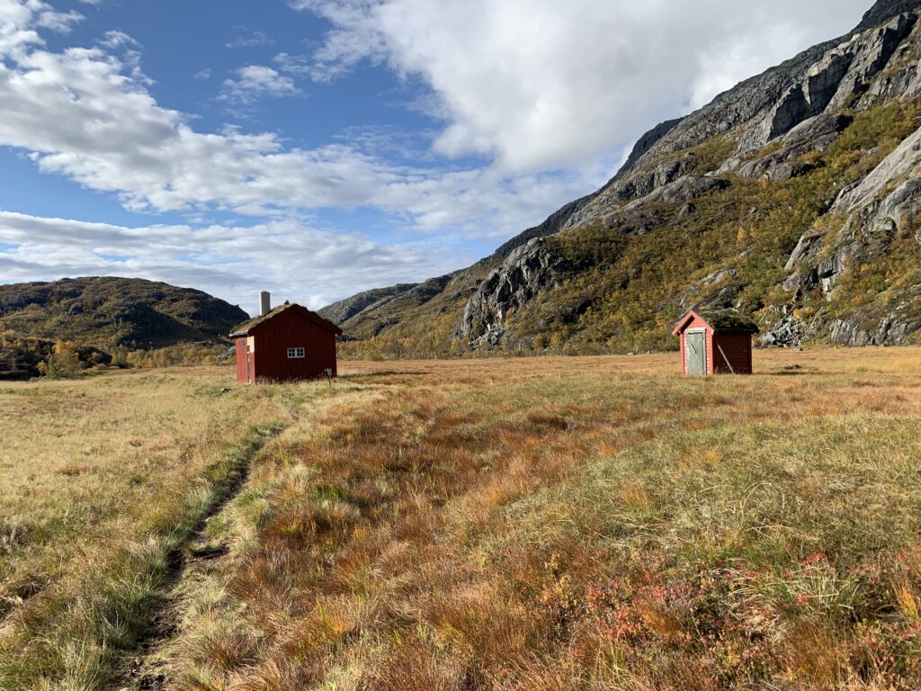
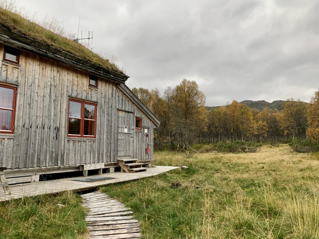
As usual I met no people on the rail. So I was surprised meet a family having installed themselves for about a week in the very rarely visited Vassdalstjørn cabin, hunting grouse in the area. Again, I was met with amazing hospitality, being invited to both dinner and breakfast while one of them vacated a room for me to sleep in.


