Norge på langs – the route

In summary:
Norge på Langs (Knivskjellodden-Lindesnes Fyr): 2702 km
Knivskjellodden-Trondheim: 1759 km
Trondheim-Lindesnes Fyr: 943 km
Nordkalottleden (Kautokeino-Sulitjelma): 667 km
DNT Massiv (Sota Sæter-Haukeliseter): 363 km

Total days spent on the trail: 186
Days used to resupply: 9
Rest days due to bad weather: 17

Section 1: Knivskjellodden-Kautokeino. June 3-26, 2019. 347 km.

Magerøya, June 3-5, 2019. 61 km.
Day 1: Knivskjellodden-Nordkapp-Kjeftavatnet (tent)
Day 2: Kjeftavatnet-Polldalen (tent)
Day 3: Polldalen-North Cape Tunnel-Roggejávri/Fisketindvatnet (tent)

Porsanger peninsula, June 6-11. 70 km.
Day 4: Roggejávri-Bealččajávri (tent)
Day 5: Bealččajávri-Fáhccagielas (tent)
Day 6: Rest day due to bad weather
Day 7: Fáhccagielas-Gussoaivi (tent)
Day 8: Gussoaivi-Olderfjord
Day 9: Rest day in Olderfjord

Finnmarksvidda, June 12-26. 216 km.
Day 10: Olderfjord-Skáiddemohkki (tent)
Day 11: Skáiddemohkki-Skáiddejávri (tent)
Day 12: Skáiddejávri-Leaktojávri (tent)
Day 13: Leaktojávri-Njárgajávrrit (tent)
Day 14: Njárgajávritt-Suolojávri (tent)
Day 15: Suolojávri-Bojobæski (tent)
Day 16: Bojobæski-Jotka Fjellstue
Day 17: Jotka-Savostanjávri (tent)
Day 18: Savostanjávri-Masi
Day 19: Masi. But to Alta
Day 20: Alta
Day 21: Alta-bus Masi-Sáitejavri (tent)
Day 22: Sáitejávri-Kautokeino
Day 23: Rest day
Day 24: Rest day

Section 2: Kautokeino-Sulitjelma. Nordkalottleden. June 27-August 12. 667 km.

Reisadalen, June 27-July 1. 93 km.
Day 25: Kautokeino-Ráisjávri (tent)
Day 26: Ráisjávri-Imogammen
Day 27: Imogammen-Vuomatakka
Day 28: Vuomatakka-Furuholmen (tent)
Day 29: Furuholmen-Ovi Raishiin (tent)

The Finnish section, July 2-7. 91 km.
Day 30: Ovi Raishiin-Somahytta
Day 31: Somahytta-Pihtsusköngäs (tent)
Day 32: Pihtusköngäs-Saarijärvi (tent)
Day 33: Saarijärvi-Kilpisjärvi
Day 34: Tromsø
Day 35: Tromsø

Inner Troms, July 8-17. 182 km.
Day 36: Tromsø-Kilpisjärvi-Treriksrøys (tent)
Day 37: Treriksrøysa-Pältsa (tent)
Day 38: Pältsa-Gassavággi (tent)
Day 39: Gassavággi-Čievččasjávri (tent)
Day 40: Čievččasjávri-Ole Nergårdbua
Day 41: Ole Nergårdbua-Lake 697, Vuoma (tent)
Day 42: Lake 697, Vuoma-Gaskashytta (tent)
Day 43: Gaskashytta-Altevasshytta (tent)
Day 44: Altevasshytta-Lappjordshytta (tent)
Day 45: Lappjordshytta-Abisko

The Narvik Mountains, July 23-August 5. 204 km.
Day 46: Abisko-Boazojohka (tent)
Day 47: Boazojohka-Hoiganjohka (tent)
Day 48: Hoiganjohka-Cunojávri (tent)
Day 49: Cunojávri-Caihnavággi (tent)
Day 50: Caihnavággi-Gautelisvatnet (tent)
Day 51: Gautelisvatnet-Čoađgejávri (tent)
Day 52: Čoađgejávri-Sitashytta (tent)
Day 53: Sitashytta-Paurohytta
Day 54: Paurohytta-Gåbddåjávrre (tent)
Day 55: Gåbddåjávrre-Sårgåjávrre river (tent)
Day 56: Sårgåjávrre river-Rikkekjåhkå (tent)
Day 57: Rikkekjåhkå-beneath Rávdoajvve (tent)
Day 58: Beneath Rávdoajvve-Rávddajávrre Hut
Day 59: Rávddajávrre Hut-Vaisaluokta (-Ritsem)

Padjelanta and The Sulitjelma Mountains, August 6-12. 97 km.
Day 60: (Ritsem)-Vaisaluokta-Guossjájåhkå (tent)
Day 61: Rest day
Day 62: Guossjájåhkå-Vidjáguojkka (tent)
Day 63: Vidjáguojkka-Miellädno (tent)
Day 64: Miellädno-Stáloluokta (tent)
Day 65: Stáloluokta-Sårjåsjávrre (tent)
Day 66: Sårjåjávrre-Ny Sulitjelma Fjellstue (tent)

Section 3: Sulitjelma-Røyrvik. August 13-September 12. 389 km.

Junkerdalen, August 13-19. 80 km.
Day 67: Ny Sulitjelma Fjellstue-Sulitjelma Turistsenter
Day 68: Sulitjelma Turistsenter-Coarvihytta (tent)
Day 69: Coarvihytta-Balvasshytta (tent)
Day 70: Balvasshytta-Trygvebu (tent)
Day 71: Trygvebu-Lønsstua (tent)
Day 72: Mo i Rana
Day 73: Mo i Rana-Saltfjellet Hotell

Saltfjellet, August 20-22. 53 km.
Day 74: Saltfjellet Hotell-Saltfjellstua (tent)
Day 75: Saltfjellstua-Krukkistua (tent)
Day 76: Krukkistua-Bolnastua (tent)

Okstindan and Umbukta, August 23-September 1. 145 km.
Day 77: Bolnastua-Virvasshytta (tent)
Day 78: Virvasshytta-Kvitsteindalstunet (tent)
Day 79: Kvitsteindalstunet-Sauvasshytta (tent)
Day 80: Sauvasshytta-Umbukta
Day 81: Umbukta-Grasfjellkoia
Day 82: Grasfjellkoia-Gressvasshytta (tent)
Day 83: Gressvasshytta-Stekvasselv Gård
Day 84: Stekvassselv Gård-Sivertgården
Day 85: Sivertgården-Krutå
Day 86: Krutå-Hatfjelldal Camping

Børgefjell, September 2-12, 111 km.
Day 87: Hatfjelldal Camping-Furuheim Gård
Day 88: Rest day due to bad weather
Day 89: Rest day due to bad weather
Day 90: Furuheim Gård-Øvre Båttjønna (tent)
Day 91: Øvre Båttjønna-Kjukkelelva (tent)
Day 92: Kjukkelelva-Virmaelva (tent)
Day 93: Virmaelva-Storvika (gapahuk)
Day 94: Storvika-Krokvatnet (tent)
Day 95: Krokvatnet-Limingen Gjestegård, Røyrvik
Day 96: Rest day due to bad weather
Day 97: Rest day due to bad weather

Section 4: Røyrvik to Trondheim, September 13-29, 356 km.

Day 98: Limingen Gjestegård-Storhusvika (tent)
Day 99: Storhusvika-Skorovasshøtta (tent)
Day 100: Rest day due to bad weather
Day 101: Rest day due to bad weather
Day 102: Skorovasshøtta-Reinsjøen (tent)
Day 103: Reinsjøen-Berg Gård
Day 104: Berg Gård-Heia Gjestegård
Day 105: Heia Gjestegård-Snåsa
Day 106: Snåsa-Imsdalen (tent)
Day 107: Imsdalen-Roktdalen (tent)
Day 108: Roktdalen-Bodom kapel
Day 109: Bodom kapel-Steinkjer
Day 110: Steinkjer-Stiklestad
Day 111: Stiklestad-Levanger
Day 112: Levanger-Bulandsvatnet (tent)
Day 113: Bulandsvatnet-Stjørdal
Day 114: Stjørdal-Hommelvik
Day 115: Hommelvik-Trondheim S

Section 5: Trondheim to Trollheimen, August 10-13, 2020. 80 km.

Day 116: Trondheim S-Motrøa (tent)
Day 117: Motrøa-Mellingsætra (tent)
Day 118: Mellingsætra-Olskastet
Day 119: Olskastet-Druggudalen (tent)

Section 6: Trollheimen to Breheimen, August 14-29, 2020. 206 km.

Trollheimen-Kårvatn-Innerdalen-Sunndalen. August 14-19. 66 km.
Day 120: Druggudalen-Svartåa (tent)
Day 121: Svartåa-Naustådalen pass (tent)
Day 122: Naustådalen pass-Kårvatn (tent)
Day 123: Kårvatn-Bjøråvatnet (tent)
Day 124: Bjøråvatnet-Innerdalen (tent)
Day 125: Innerdalen-Eriksvollen

Sunndalen to Romsdalen (Sunndalsfjellene), August 20-25. 57 km.
Day 126: Eiriksvollen-Dalavatnet (tent)
Day 127: Dalavatnet-Raubergshytta (tent)
Day 128: Rest day due to bad weather
Day 129: Raubergshytta-Aursjøhytta
Day 130: Rest day due to bad weather
Day 131: Aursjøhytta-Lynningen (tent)

Reinheimen, August 26-29. 83 km.
Day 132: Lynningen-beg. Lordalen (tent)
Day 133: Lordalen-Bergebua
Day 134: Bergebua-Pollfoss Gjestehus
Day 135: Pollfoss Gjestehus-Sota Sæter (tent)

Section 7: Breheimen to Haukeliseter. DNT MASSIV. August 30-September 28, 2020. 363 km.

Breheimen, August 30-September 5. 74 km
Day 136: Sota Sæter-Sprongdalshytta (tent)
Day 137: Sprongdalshytta-Greindalen (tent)
Day 138: Greindalen-Løndøla (tent)
Day 139: Løndøla-Nørstedalseter (tent)
Day 140: Nørstedalseter-Fortundalen (tent)
Day 141: Fortundalen-Turtagrø.
Day 142: Rest day due to bad weather.

Jotunheimen, September 6-9. 58 km
Day 143: Turtagrø-Utladalen bridge (tent)
Day 144: Utladalen-End of Uradalsvatnet (tent)
Day 145: Rest day due to bad weather
Day 146: Uradalsvatnet-Tyinkrysset Fjellstue

Skarvheimen, September 10-20. 105 km
Day 147: Tyinkrysset-Sulebu (tent)
Day 148: Sulebu-Skarvheim DNT hut
Day 149: Rest day due to bad weather
Day 150: Rest day due to bad weather
Day 151: Rest day due to bad weather
Day 152: Skarvheimen-Bjordalsbu (tent)
Day 153: Bjordalsbu-Iungsdalshytta (tent)
Day 154: Kongshelleren (tent)
Day 155: Rest day due to bad weather
Day 156: Kongshelleren-Geitryggvatnet (tent)
Day 157: Geitryggvatnet-Brebua, Finse

Hardangervidda, September 21-28. 126 km
Day 158: Finse-Finnsbergvatnet (tent)
Day 159: Finnsbergvatnet-Lundhaukedalen (tent)
Day 160: Lundhaugedalen-Sandhaug (tent)
Day 161: Rest day due to bad weather
Day 162: Sandhaug-Litlos (tent)
Day 163: Litlos-Hellevassbu (tent)
Day 164: Hellevassbu-Haukeliseter
Day 165: Rest day due to bad weather

Section 8: Ryfylkeheine, September 29-October 14. 178 km.

Day 166: Haukeliseter-Raudmøra, Kvanndalen (tent)
Day 166: Raudmøra-Bleskestadåa (tent)
Day 167: Bleskestadåa-Bleskestadmoen (tent)
Day 168: Bleskestadmoen-Jonstølen
Day 169: Jonstølen-Vassdalene (tent)
Day 170: Vassdalene-Krossvatn (tent)
Day 171: Krossvatn-Vassdalstjørn
Day 172: Vassdalstjørn-Hovatn (tent)
Day 173: Hovatn-Storsteinen (tent)
Day 174: Storsteinen-Kringlevatn
Day 175: Rest day due to bad weather
Day 176: Kringlevatn-Taumevatn
Day 177: Taumevatn-Håhelleren (tent)
Day 178: Håhelleren-Gaukhei (tent)
Day 179: Gaukhei-Ljosland Fjellstove
Day 180: Rest day

Section 9: Ljosland to Lindesnes Fyr. September 15-20. 116 km
Day 181: Ljosland Fjellstove-Kyrkjebygda
Day 182: Kyrkjebygda-Eiken Feriesenter
Day 183: Eiken Feriesenter-Kvåstunet
Day 184: Kvåstunet-Paulsens Hotel
Day 185: Paulsens Hotel-Lindesnes Havhotel
Day 186: Lindesnes Havhotel-Lindesnes Fyr!!

Getting there and away:

Getting to Knivskjellodden: Own car from Copenhagen to Abisko – Train to Narvik – Bus to Tromsø – Hurtigruten to Honningsvåg – Bus to Knivskjellodden Parking.
Getting away from Lindesnes Fyr: Hitchhiked to Spangereid – Bus to Mandal – Bus to Kristiansand – Train to Oslo – Passenger ferry to Copenhagen.

Norge på langs – the preparations

In August 2016, while crossing Hardangervidda, I met two women walking something called Norge på Langs. The first woman explained that she had hitch-hiked through numerous tunnels and walked a lot on the E6 highway. I immediately knew such a trip was not for me. Then, waiting for the bus at Haukeliseter, I met another woman. So, how many tunnels did she walk through? Only one, she said: The North Cape tunnel. And she walked in the mountains. Later I looked her website up, where her itinerary was posted. An itinerary I, in fact, ended up largely following for the Northern half of the trip.

First of all, there is no established route nor any set rules for Norge på Langs. Accordingly, depending on priorities and goals, almost everyone end up doing it their own way. Some aim to do it in less than 100 days, some walk only in Norway, some occasionally takes a boat ride or lets other carry their luggage, some cycle parts of the route etc. etc. Thus unsurprisingly, I, for one, have never heard about anyone completing Norge på Langs exactly as I did. According to a private list, 433 people have completed the trip since 1951, but there are more. Me, for example. And others.

Based on previous experiences, I now know myself reasonably well as a hiker: Ideally I get up around midday, walk through the afternoon and evening, often after midnight, especially in the midnight sun. In the  mountains I average about 2,5 km/h (breaks included). I don´t usually walk more than 20-25 km/day in the mountains and 35 km on road is about enough as well. On the mental aspect, I know that I will not get lonely, in fact walking day after day in the wilderness without meeting anyone is uplifting. I do not like to be offline more than I have to: Social media, football results, listening to podcasts etc. in the evening are all essential parts of a trip. I do not want to push myself physically by aiming at a fixed daily hiking distance. Hiking is about freedom. If I am tired, I take a break. If it rains heavily, I will probably not want to walk. If I find an extraordinary campsite after 10 km, I will stay there.
Finally, I have come to have some rough ideas of my weak and strong points: My main weak point is (lack of) physical strength. Followed by: Tolerance for freezing. My strong points: Rational thinking, solid judgement/risk assessment, perseverance.

My main goals for Norge på Langs were: 1) to walk 100% of the route, 2) as much as possible in the mountains, with 3) no preplanned supply parcels/support.

The concept:

  1. Walk 100% of the way. In this context “walk” equals “walk with my backpack”. Thus, no motor boats allowed (with specific reference to the boat services over Akkajaure and Namsvatnet).
  2. Not skipping any major mountain section and I walking mainly in the mountains. In case of adverse conditions preventing me from passing through, I will simply wait or, worst case, return at a later stage to complete the trip. I have driven the length of E6 before. I see no reason to walk it as well.
  3. I do not send food/resupply parcels. Mainly because I would lose freedom and flexibility by doing so and secondly, because I, after doing the relevant research, did not find it necessary. It is also a big hassle as well as expensive.
  4. I will not rely on outside help. If I have logistic issues needing me to go off-trail, I will do so myself. I will not ask anyone for food unless an emergency (defined as: > 48 h without eating).
  5. I will not set daily targets. I will walk at whatever pace I am comfortable with and stop whenever I like.

Where to start? North or South?
Most people start at Lindesnes. Quite frankly, I do not understand why: Starting in the South means that Ryfylkeheiene, Hardangervidda and Skarvheimen will be reached in early/mid-June, quite possibly the worst time of year, in the middle of snow-melting, with deep rotten snow and huge rivers, a nightmare on ski as well as on foot. Of the numerous people starting from the south in recent years, with or without skis, including an Olympic skiing champion, all I am aware of have given up on the mountain route during or right after Ryfylkeheiene.
On the contrary, in the North, Finnmarksvidda is normally fine to walk in early June, which I confirmed by studying snow data on senorge.no. The main issue starting in the North is the notoriously late snow-melting a bit further south, in the Narvik and Sulitjelma Mountains, often as late as late July. Furthermore, I quite simply love the Northern spring with the midnight sun, gone by late July.
So, this was an easy choice: The starting point is Knivskjellodden, the northernmost point on Magerøya, ~1,5 km further north than The North Cape.

Which route?

I wanted to walk the most beautiful and interesting way, not necessarily the easiest and fastest way. The choice of road until Børgefjell was easy (more or less E1, Nordkalottleden, Nordlandsleden). After Børgefjell, the easiest and most popular route would include Røros, Rondane and Eastern Jotunheimen. However. I was less motivated by these areas and preferred the fiords, the deep valleys, Innerdalen, Breheimen and Central Jotunheimen. In the end I decided to leave the Southern route decision until after Børgefjell.

I knew, that the combination of 1) not relying on resupply parcels or 2) outside help, as well as 3) intending to walk a more western route, most likely meant that I´d have to split the trip over two seasons. Ideally I´d complete it in one, but I´d much rather do two seasons than skipping central sections like Skarvheimen, Jotunheimen and Hardangervidda. In the end the choice between “one season with hundreds of km on paved roads” or “two seasons almost only in the mountains” was easy.

I ended up walking the below route over two seasons, the break-off point being Trondheim. All supply points in the North as well as all the huts are marked on the map above. Further details in separate post.

What to bring?
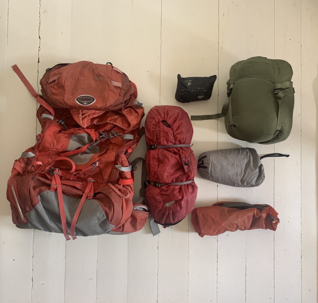
The equipment is described in detail in a separate post.

The planning phase
Intuitively I would say I didn´t plan anything, but that would would be wrong. As I did not send any resupply parcels, didn´t purchase any new equipment and didn´t preplan neither daily stages nor the route, there was not a lot of formal planning, no excel sheets etc.
However, I spent countless hours looking at ut.no, studying route options, in particular potential difficult river crossings and ways to circumvent them. I needed to be sure that it was possible to resupply with food without sending parcels, and I identified the two most challenging sections in this regard: The Narvik mountains, and Lønsdalen-Hatfjelldal, each requiring 10-12 days food to be carried and I would have to leave the trail to resupply. I studied the snow development several times a day for months on senorge.no and I watched YouTube videos as well as looked at Instagram posts and various web sites studying previous trips as well as the areas I´d be passing. The final decision to go was taken only a couple of weeks before the departure, after a final check of the snow conditions, around mid-May 2019.

Physical preparation:
Unfortunately, I did not train a lot (read: I did not train at all) and I was in quite miserable shape at the beginning, not able to run 5 km without stopping, to give an example.

Web ressources used frequently, before and during the trip:
ut.no – for route planning. All DNT routes and cabins as well as most, but not all, free cabins are marked.
ut.no or norgeskart.no: Navigation during the walk, when needed. Also works offline.
yr.no: Weather forecast. I find it the most reliable of the online providers.
senorge.no: Follow the snow situation and compare with previous years.
bratt.no: Steepness. Especially useful when heading off-trail.
Lantmäteriet: Online free hiking maps for the Swedish sections.
National Land Survey of Finland: Online map of the Finnish section.
Interactive map with open Statskog cabins.
Restless kiwi adventures: Both a blog and a YouTube channel, but I found the daily videos of the Northern section particularly useful in assessing the geography.
The website by Tine Larsen detailing the route she walked. I met her in Haukeliseter parking lot and she was the one inspiring me to walk Norge på Langs in the first place.

Other recent trip reports:
In 2019, both Gina Johansen and Anne Line Pedersen completed Norge på Langs and wrote extensive trip reports (in Norwegian) on their websites.
Links to many previous trip reports on norgepaalangs.info

Working as a doctor on Thule Air Base

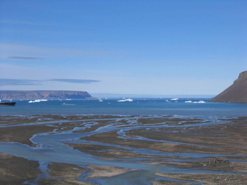
Thule Air Base is a strange place: The northernmost US Air Force base, located on top of Greenland and close to the historical settlement Dundas, which served as base camp for several famous polar explorers such as Robert E Peary and Matthew Henson as well as Knud Rasmussen who founded a trade station here and named it Thule. The original Thule trade station was moved and now serves as the museum building in the modern settlement of Qaanaaq, on the other side of the fiord. Upon establishment of the Thule Air Base in the 1950s, the original inuit population were forcefully evacuated to the present day village of Qaanaaq, causing ongoing lawsuits for decades until the matter was finally settled by the Danish Supreme Court in 2003.

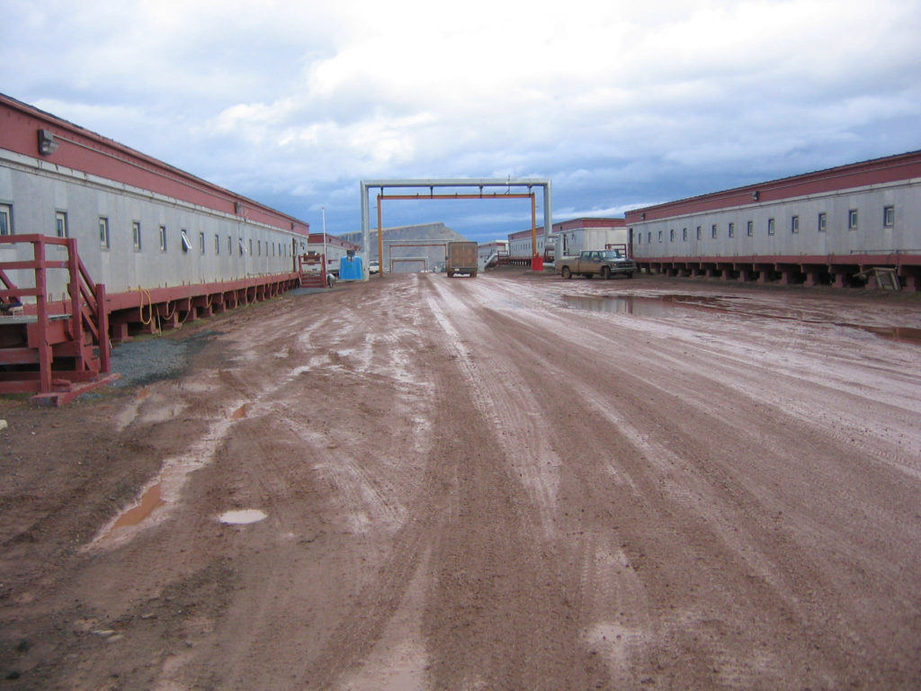
Thule Air Base
Thule Air Base

In brief, the main purpose of the Thule Air Base is to support the Thule Radar, a part of the BMEWS system to detect a missile attack against the United States.

Around 600 people live on the base, 150 from the US military, the remaining 450 being service personnel, mainly from Denmark and Greenland. The service contract with the Thule Air Base is with the company Greenland Contractors, who hires the doctors (in my case via an Agency). This service contract is currently (2016) the center of a major controversy.

Thule Air Base
Thule Air Base

Two doctors are permanently stationed on the base, one needs surgical skills. However, I did not have to use mine as the work is centered around general medicine including health certificates and administrative reports. There were no emergencies the month I was there. The closest was a call from a captain on a Lufthansa flight located right over the North Pole presenting a patient had abdominal pain. In the end it was decided that emergency landing at the base was not indicated. Though not part of the health care system in Greenland, Thule Air Base doctors and authorities will nevertheless assist with medical evacuations from nearby settlement Qaanaaq if needed.

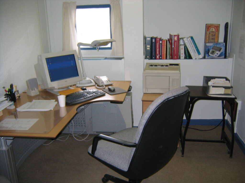
My office

As a doctor you are provided with a car with a compulsory driving test at the base. I had a small apartment within the medical building/hospital ward, with no admissions during my time there. There is a small convenience store. The Top of the World Club (a bar/restaurant). And a fitness center. I was on Thule Air Base in August. The sun was never down and I covered the windows with plastic foil during the night.

Dundas

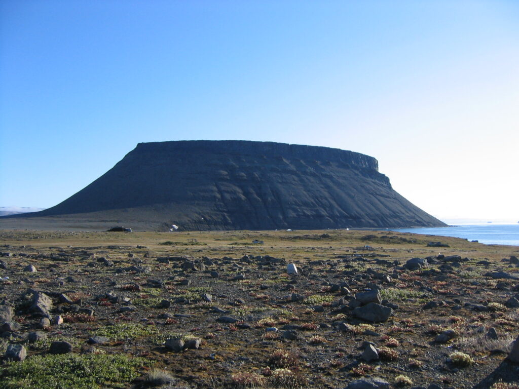
The scenery is spectacular with ~20 km road to drive on outside the base. One of these goes up to the Thule Radar. And despite many visits to Greenland, this is the only time I have actually been standing on the Inland Ice. I climbed the iconic Dundas mountain and visited the old Dundas inuit village. And lastly, I visited Alert, the Canadian base, located only 817 km from the North Pole.

Around Thule Air Base

Other posts on Greenland:
Working as a doctor in Greenland; Some basic facts.
Doctor in Qaanaaq: 24 hours on call.
Medical visit to Siorapaluk, the northernmost settlement in Greenland.
Nanortalik: 24 hours on call.

A photogallery of my time as a doctor on Thule Air Base is available on flickr.

Siorapaluk: Medical visit

At 77°47′ N , 47 km north of Qaanaaq, Siorapaluk is the northenmost settlement in Greenland as well as one of the northernmost permanently inhabited settlements in the world. 68 people live here permanently. There is a school, a church and a small library, all combined in one building. The doctor from Qaanaaq visits approximately every 3 months. Health services in these small settlements are provided by a health assistant, employed for a couple of hours a day, and with only a couple of weeks training. Thus all health issues are normally discussed either on phone or telemedicine with Qaanaaq. Siorapaluk is connected with Qaanaaq by twice-weekly helicopter flights.

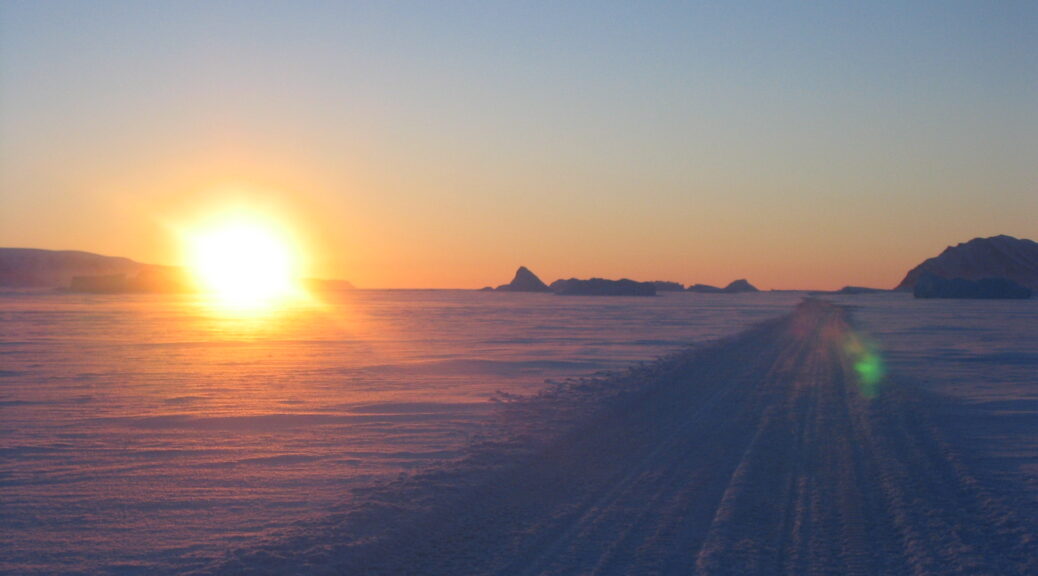
It is February. Windy and around -30 °C. We travel with two snow-scooters over the frozen fiords and .bring rifles in case we encounter a polar bear. We wear special polar suits including protection glasses. In the middle of the polar winter, the sun is never up, but nevertheless there is a shimmer of light in the horizon. I have no idea about the direction we are taking and have to trust the local driver. In this hostile environment, all it takes is one wrong turn and we will never be seen again.

We leave Qaanaaq at 7am and arrive in Siorapaluk a couple of hours later. With me is an assistant nurse, who also doubles as interpreter, and the plan is to work as we possibly can in one very long day before returning. I see all the children and vaccinations are brought up to date. Dental status is checked. In fact I end up seeing most of the inhabitants and those not on the list, turn up queuing at the door once the rumor had spread of our arrival.

A tragedy struck this remote community in 2013: An old man died, presumably of food poisoning. What no one knew at the time of his death, he did indeed die from botulism, from the traditional meal kiviak. At his funeral, several of the guests ate from this sane meal, and subsequently his 46-year old daughter died and five additional guests were seriously ill. A case report on this event was later published in a forensic science journal.

On the way to Siorapaluk via the frozen Robertson fiord

A 25-year old Japanese man happened to pass by this place 40 years ago in search for extreme wilderness. He never left, and founded a family there. His reputation as a hunter is widespread and as I was looking to buy a polar fox fur, I went to see him at his storage facility in the basement of his house. He immediately apologized, he did have polar foxes, however they were brown and not white.  The white were sold out as confirmation season was approaching.

At 5 pm we wrap things up and travel back over the frozen Robertson Fiord to Qaanaaq.

Other posts on Greenland:
Doctor in Greenland – the basic facts.
Doctor 24/7 on call in Qaanaaq.
A typical day as a doctor in Nanortalik.
Life as a doctor on Thule Air Base.
A visit to Alert, northernmost settlement in the world.

A photogallery of my time as a doctor in Qaanaaq is available on flickr.

Photos from

The doctor in Qaanaaq is always on call

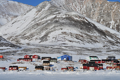
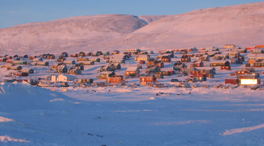
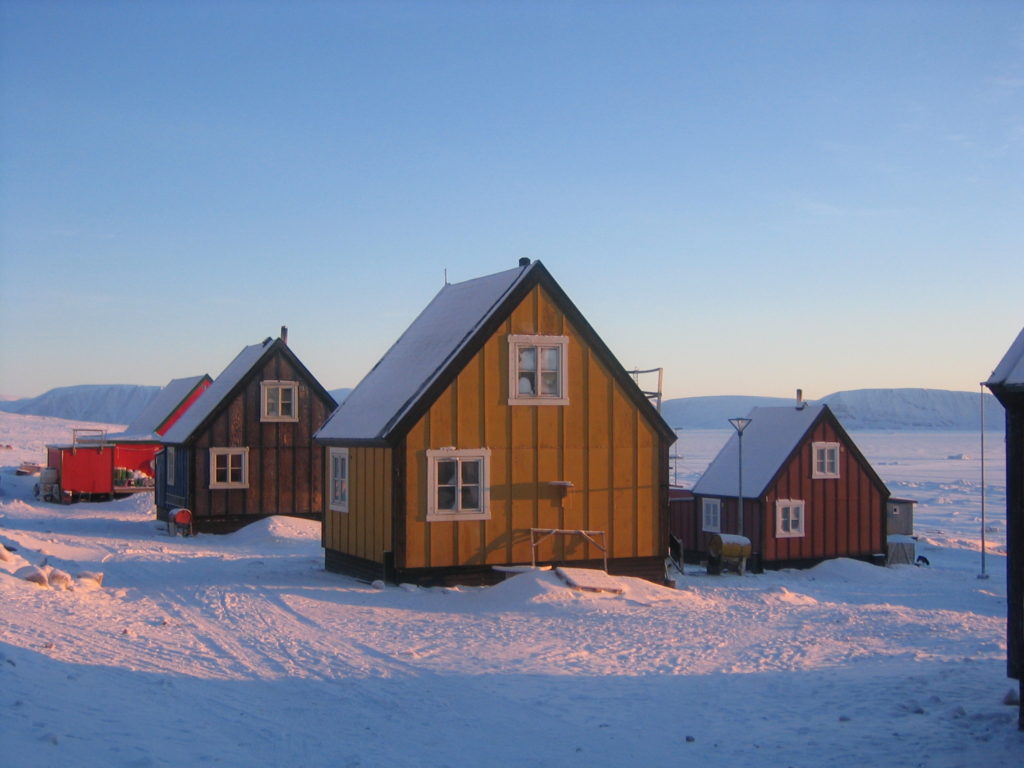
Qaanaaq, the Northernmost village in Greenland is a very special place. Founded in 1953 when the original inuit population was forcefully evacuated from  Thule Air Base, now 650 inhabitants remain. The history of Qaanaaq is fascinating and descendants of the Polar Explorers Robert E. Peary and Matthew Henson still walk the streets of Qaanaaq today.

Qaanaaq

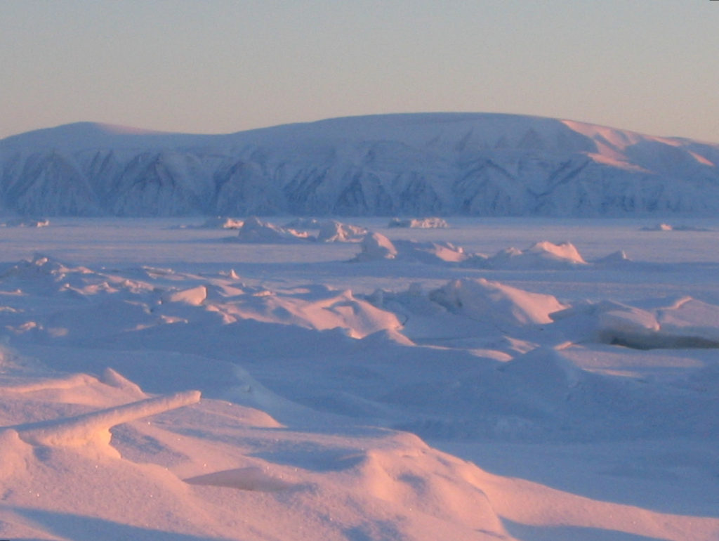
So far north, the sun is permanently down between November and February, and permanently up between June and August. Temperatures in winter may drop to below minus 50°C. We are even too far north for the Northern lights.  It is an arctic desert, with little, if any snow even in winter. The Qaanaaq fiord is frozen 9 of 12 months and only a couple of ships a year pass by with supplies, the last one in August. Trucks drive out on the frozen fiord to collect chunks of icebergs, which supply Qaanaaq with drinking water during the Arctic Winter. You are the only doctor here. The next settlement on the Coast is Upernavik, 1:30 hours south by plane, one plane a week.

I worked as a doctor in Qaanaaq in 2006 and again in 2013.

Qaanaaq
Qaanaaq

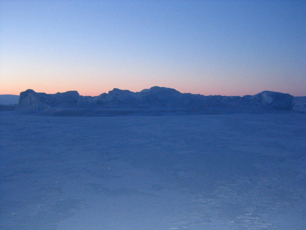
07:30 January. The middle of the Arctic Winter. While the sun is never up, it is not pitch dark all day, as reflections of light shimmer over the flat mountains. Some people suffer depressions in this eternal darkness. I think it is wonderful. I have an entire house at my disposition, right next to the hospital. First I empty my toilet bag (there is no cloacal system here) and place it outside the house to be collected. It is minus 35 °C. After a quick coffee I run the 200 meters to the hospital.

08:00 Morning meeting at the hospital. It is Wednesday: Surgery day. Thursday is for vaccinations, Tuesday for examining children. Today we have two abortions scheduled. If I was not able to perform them, they would have been sent down south to Upernavik or Ilullissat.

09:00 Patient consultations begin: Two patients present with a common cold. One needs his diabetes controlled. One child presents with a rash.  I need an interpreter for the majority of the consultations, as especially the younger patients do not readily speak Danish. 3 patients per hour are booked. While this may not seem a lot, the lack of prior knowledge of the patients as well as the need of translation makes it appropriate.

09:30 A hunter has been out on the ice-edge, hunting for walrus. They caught one and ate some raw meat. Now he feels weird. Could it be trichinosis? I have to look it up in the text book.

10:00 I administer a paracervical blockade, and the two abortions are performed without problems.

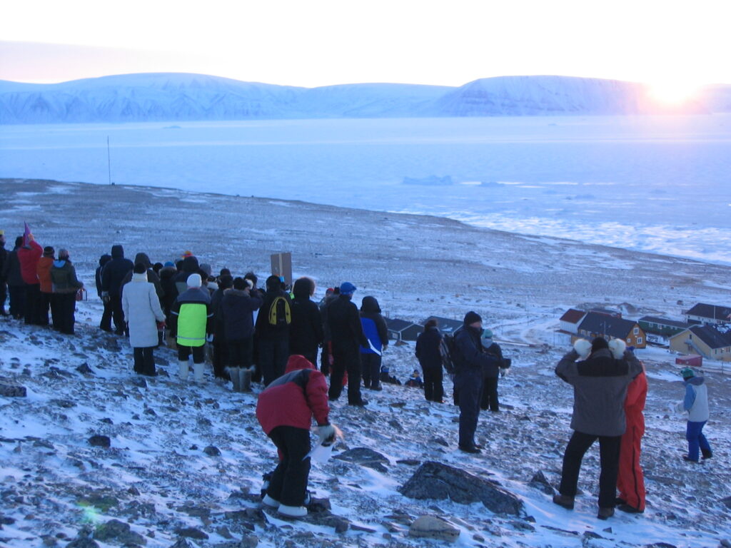
Qaanaaq, the arrival of the sun

11:00 The consultations continue: One patient presents with tendinitis. He is a hunter, and it comes from holding the reins of the dog-sledge.

12:00 Lunch break: The nurse told me that a helicopter from Thule Air Base had just landed bringing eggs. There have not been any eggs in Qaanaaq for two weeks. I run down to the supermarket Pilersuisoq, where 15 boxes of eggs are left. I took two.  I check the rest of the store out: Well stocked with mainly dry and canned foods. Dairy products and vegetables are frozen.

13:00 Visit to the retirement home. The lack of continuity is a problem, a new doctor coming in every 1-3 months.  I do not know the patients, but try my best together with the leading nurse to go through and update all the prescriptions.

14:00 Call to the settlement Siorapaluk via the telemedicine platform ”Pipaluk”. I talk to the settlement health worker who presents a couple of patients, mainly with coughs and skin issues.

15:00 The visiting psychiatrist is here for her yearly visit. The secretary tries to get hold of all the villagers referred for psychiatric consultation. This includes arranging transport for those living in the smaller settlements around Qaanaaq: If they don´t make it this week, they have to wait a whole year until the next visit.

15:30 Off duty. It is minus 25 degrees Celsius now. I walk the 50 metes down the hill to the public library and shuffle through the books. There is a an interesting new book out on Knud Rasmussen, signed by the author. Knud Rasmussen is well remembered here in Qaanaaq and his sledge from the Thule expeditions can be seen in the Qaanaaq museum, the building itself being his old trade station (Thule Trade Station) moved up to Qaanaaq from Dundas.

Qaanaaq
Qaanaaq

16:00 In many ways the history is very much alive here: The descendants of Robert Peary are well respected as are the descendants of Matthew Henson, who was first on the North Pole together with Peary and perhaps the first one to actually touch the pole. Henson was a black man, and his descendants lived for many years in the small settlement of Moriusaq. Even now, three generations later, they may be distinguished by their slightly darker skin color.

18:00 Dinner with the visiting psychiatrist at the only hotel in town. Soup with seal is served. It tastes mainly of salt water.

21:00 A call from the police. A young man has committed suicide by hanging. He is 19. The police officer picks me up at my house and we drive to examine him and fill the necessary paper work. The suicide rate in Greenland is one of the highest in the world.

01:20 Another call from the police. They want to lace a man overnight in the detention, and a prior medical examination is mandatory.

Other posts on Greenland:
Working as a doctor in Greenland: Some basic facts.
24 hours working as a doctor in Nanortalik.
Life as a doctor on Thule Air Base.
Visit to Siorapaluk, northernmost settlement in Greenland.

A photogallery of my time as a doctor in Qaanaaq is available on flickr.